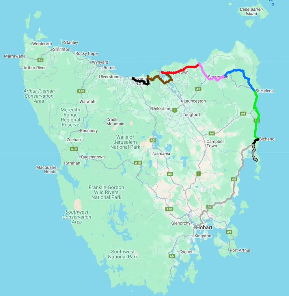
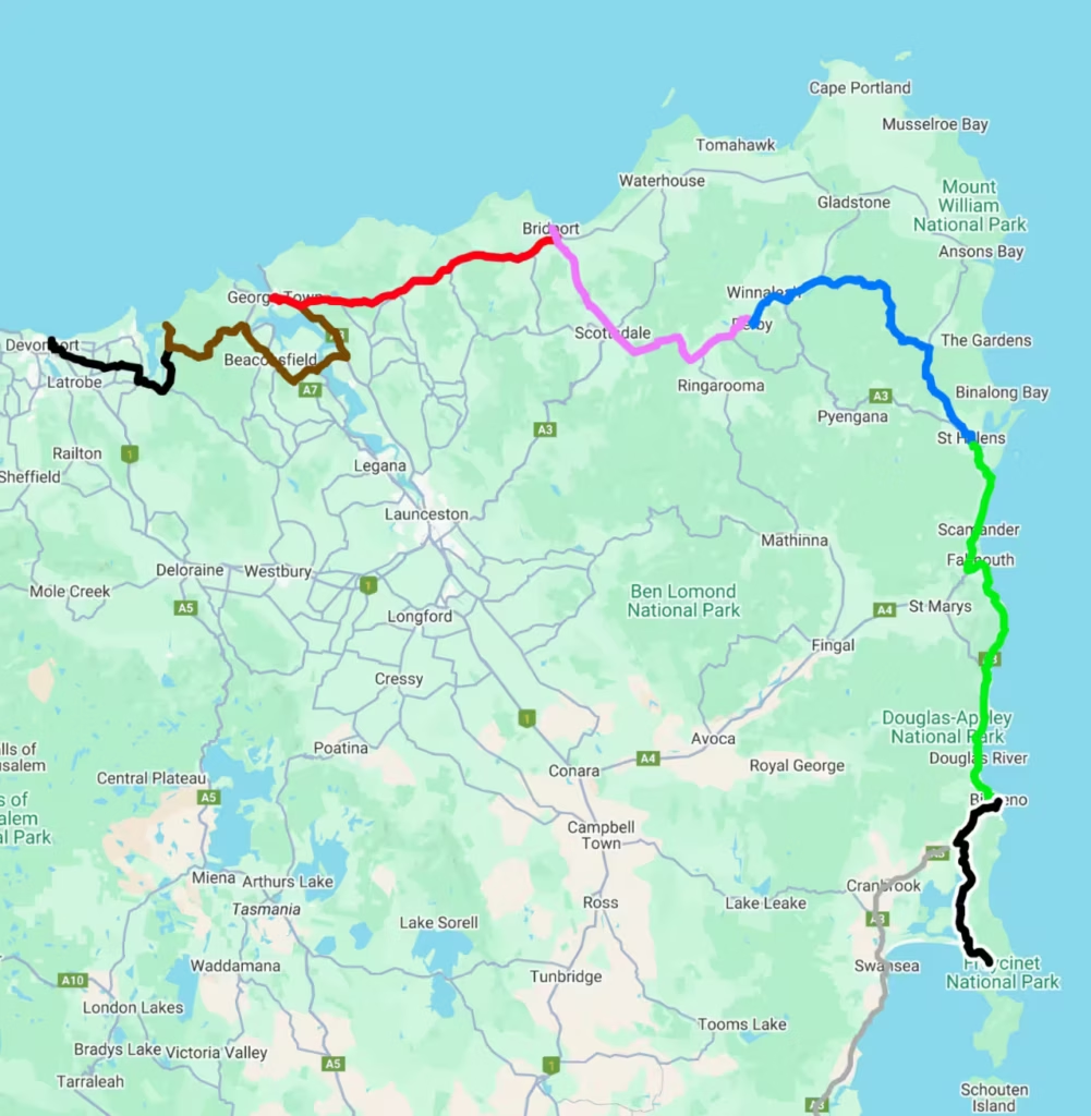
An overview of the road covered during our first week of cycling in Tasmania.
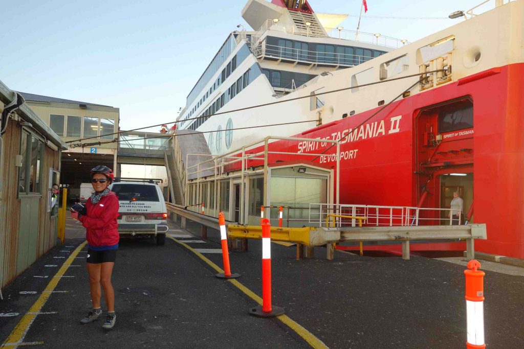
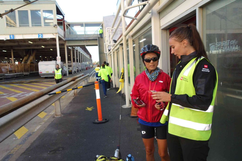
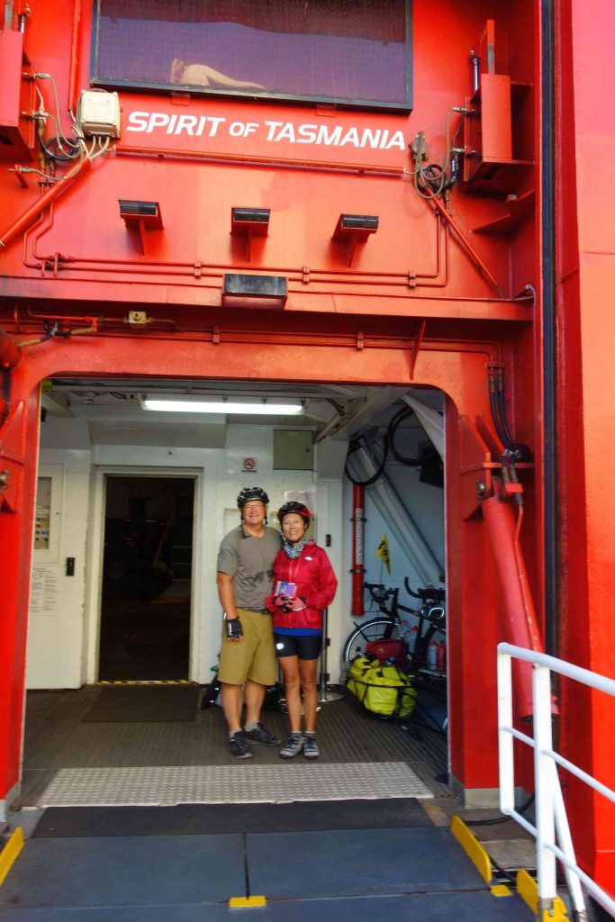
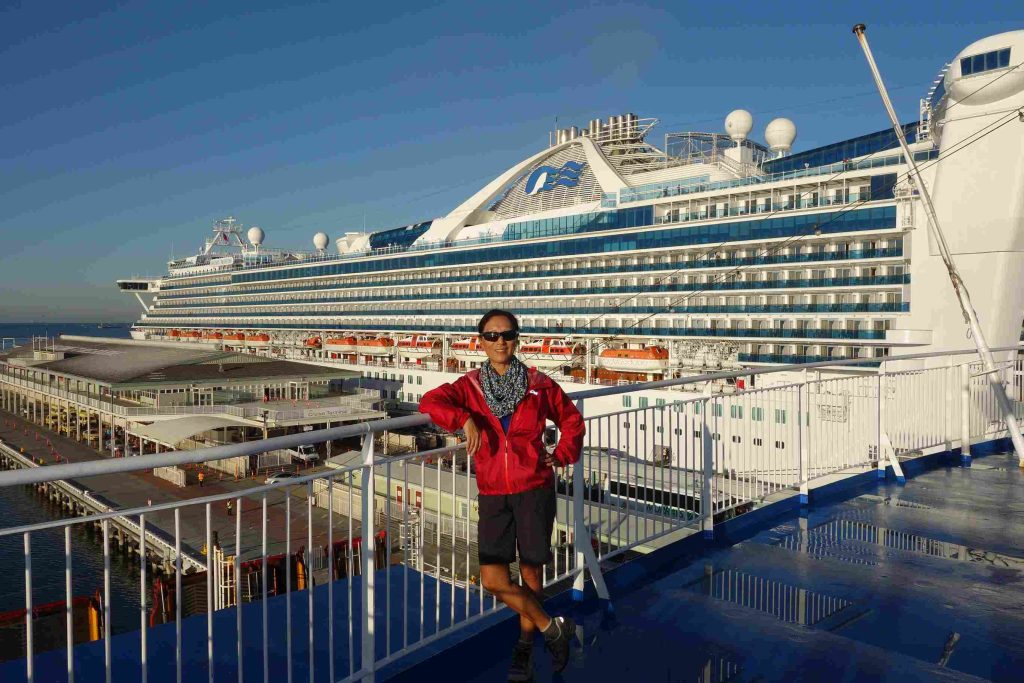
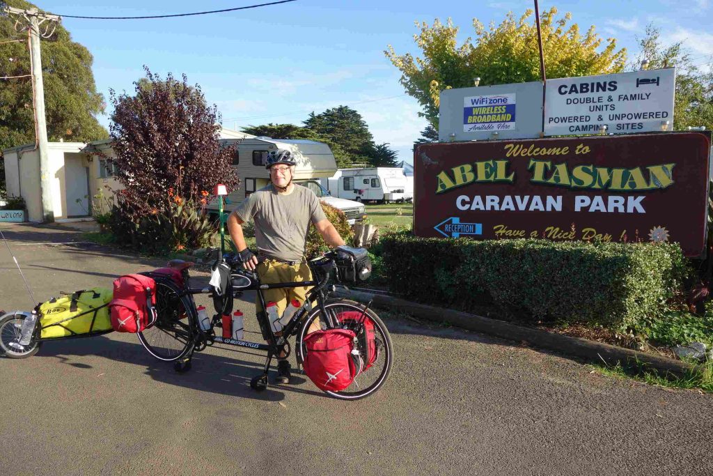
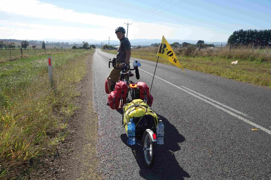
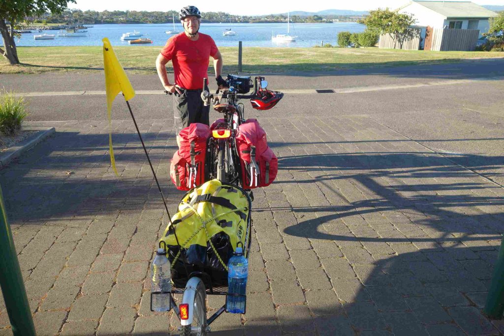
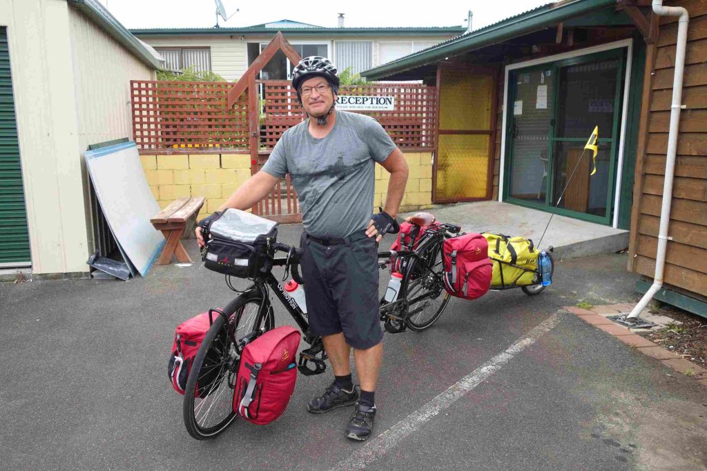
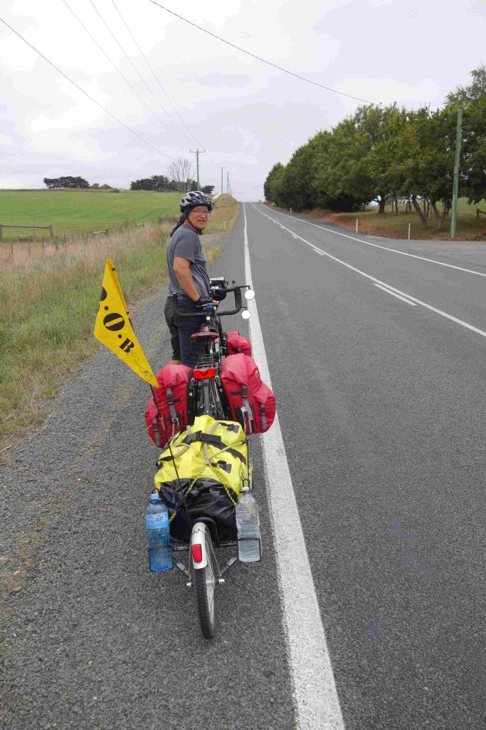
2018.03.10 – [AU] Melbourne ==> Devonport (8 kms | Total: 4391 kms) – We did not sleep overly well knowing that we had a 9:30am ferry to catch – some 7kms away from our accommodation. After gathering all of our belongings, we loaded the tandem and trailer at the first light around 7:15am. We cycled easily to the port where the Spirit of Tasmania II ferry was anchored. It was a great feeling passing beside the long queue of vehicles awaiting to board the ferry. The boarding process for us was very efficient as we rolled the tandem onto the ferry. Although we quickly found our private 4-berth cabin, we had to have our key re-initialized. Due to a technical glitch, it seemed that everyone with a cabin or a recliner reservation had to deal with the same issue. During the eleven hour crossing from Melbourne to Devonport, the sea was calm. We had our breakfast and a late afternoon snack on-board. Although we spent much of our time in our cabin, we did manage a few walks around the three passenger decks. Upon our arrival in Devonport, we rolled out of the ferry with our tandem and cycled less than a 1km to a holiday park. We quickly pitched our tent with the last light of the day.
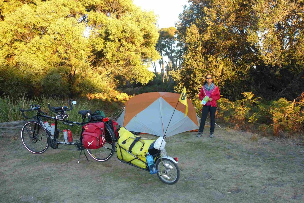
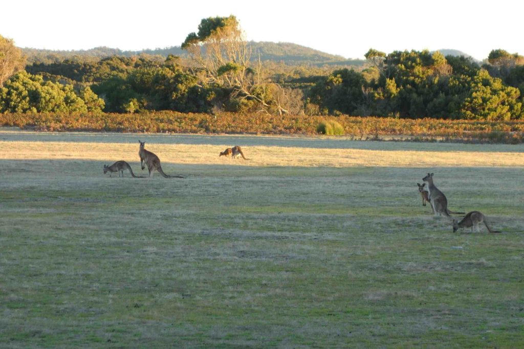
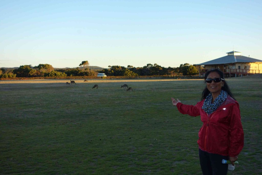
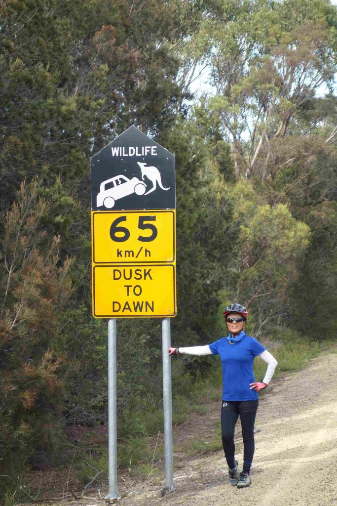
2018.03.11 – [AU] Devonport ==> Narawntapu National Park (40 kms | Total: 4431 kms) – After breaking camp, we cycled to a nearby grocery store. We bought some food supplies as we expected to be in a remote national park campground by the end of the day. We stopped at a café near the ferry dock for a quick breakfast. We tackled a climb out of town after which the road gradually leveled for the rest of the day. As we gazed at the scenery from our tandem we felt transported back to NZ’s north island. Although the sun was out in full force the temperature was quite comfortable. We arrived at the Narawntapu National Park in the early afternoon. We checked into a powered site but unfortunately the campground had no wifi access. We pitched the tent and protected it from the sun with a light tarp. This was the first time we actually camped two nights in a row. As we discovered on our way to the park that one of the road we had planned to cycle on tomorrow was actually a dirt road, we spent a few hours at the park’s visitor center reviewing our routes and accommodations for the next few days. Thankfully Jenny’s iPhone managed to provide us with internet access through her data plan – while my phone failed to offer any services – once again. Our evening meal was quite modest. While we ate sandwiches and pasta under a picnic shelter, a group of locals were having a large BBQ cook out, wine and cheese beside us. Water at the campground came from two sources, one from the ground and the other from a rain reservoir. The ground water was the color of tea and was used for the toilets. The rain water was clearer but it was still not considered safe for drinking. We used our ultra-violet water purifier for the first time. In the evening we enjoyed a walking trail leading up to a bird viewing hut. We saw several pademelons along the way. Later, we also observed a number of kangaroos in the clearing near the park’s visitors center. We met an older cycling couple, originally from NZ, but now living on a yacht in New Caledonia. They were wrapping up a five week trip in Tasmania. They appeared to have extensive cycle touring experience in various places around the world. They also appeared to enjoy roughing it as they found the $2 shower was too expensive!
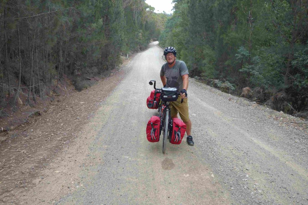
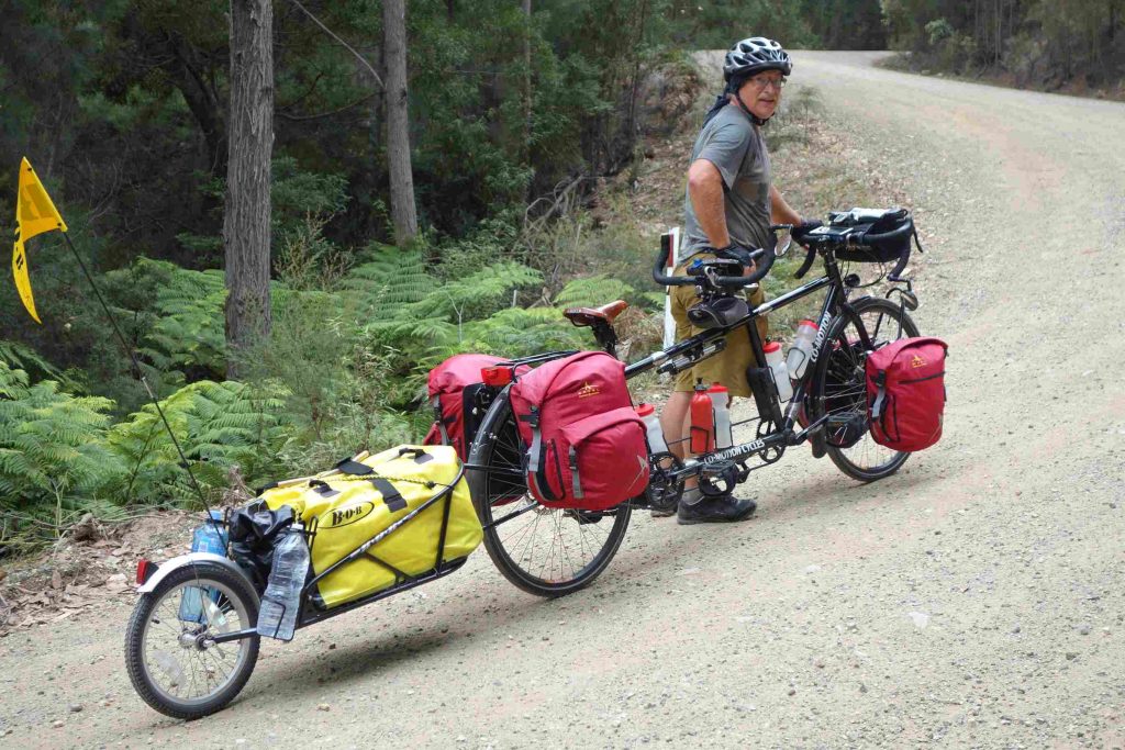
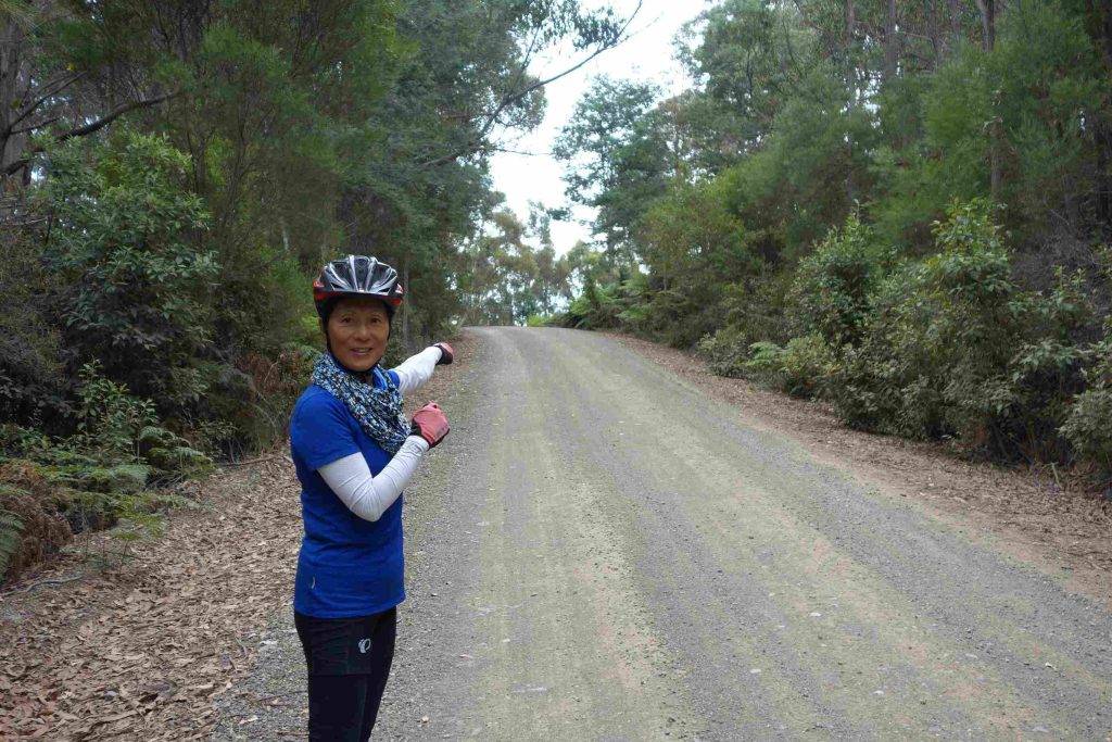
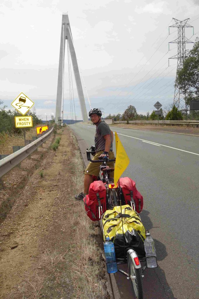
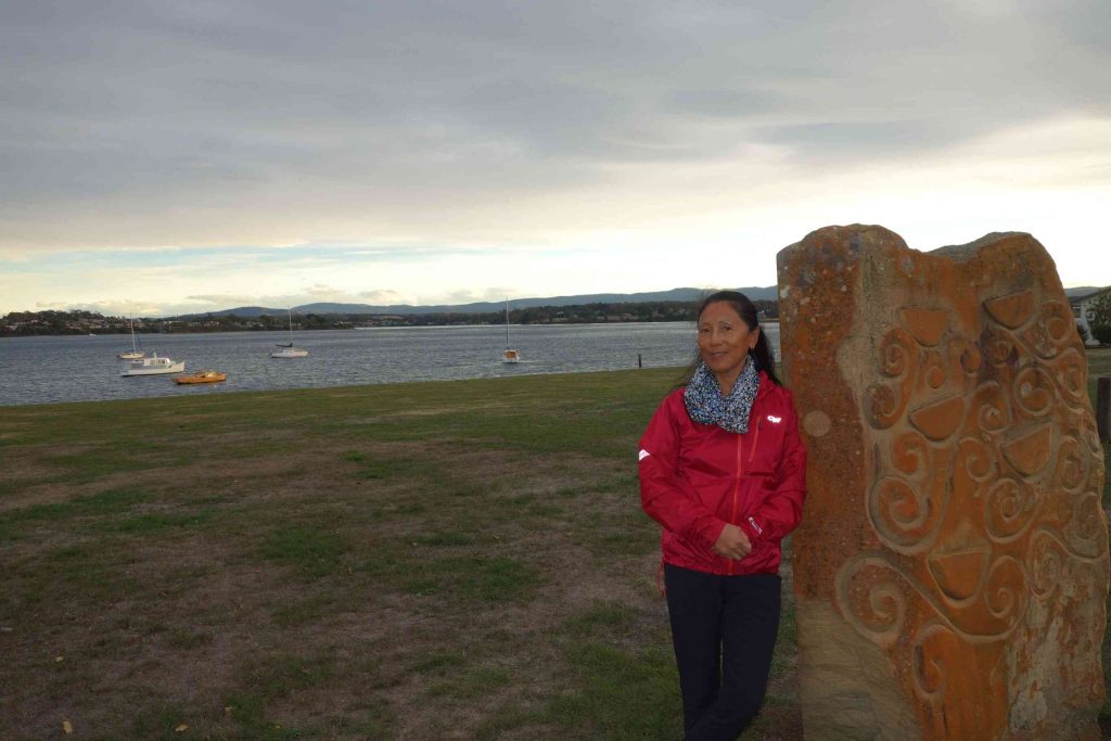
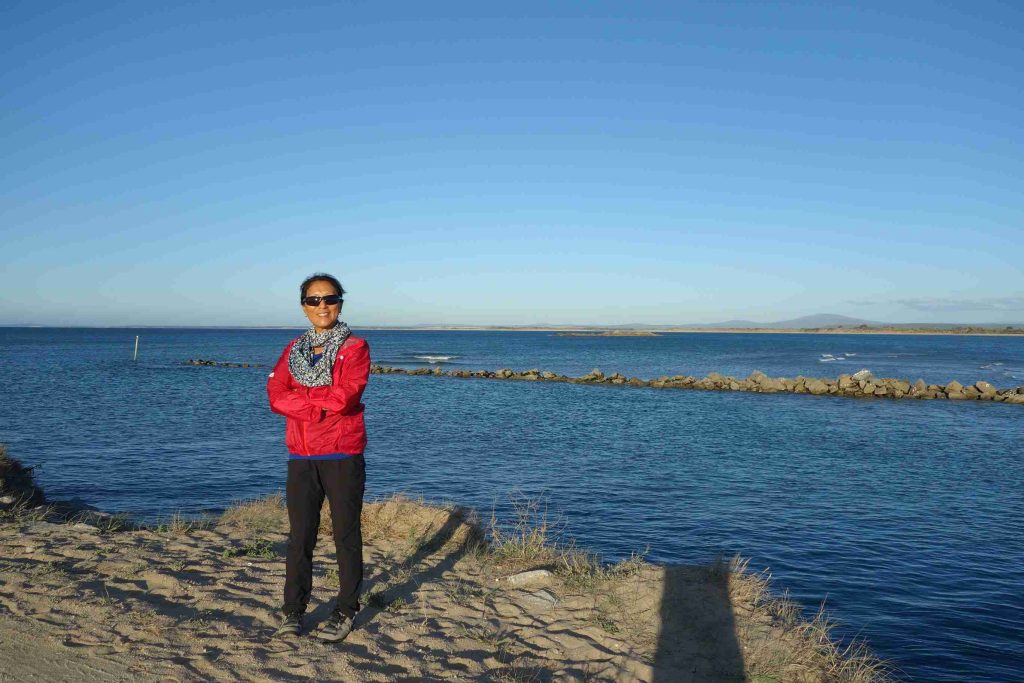
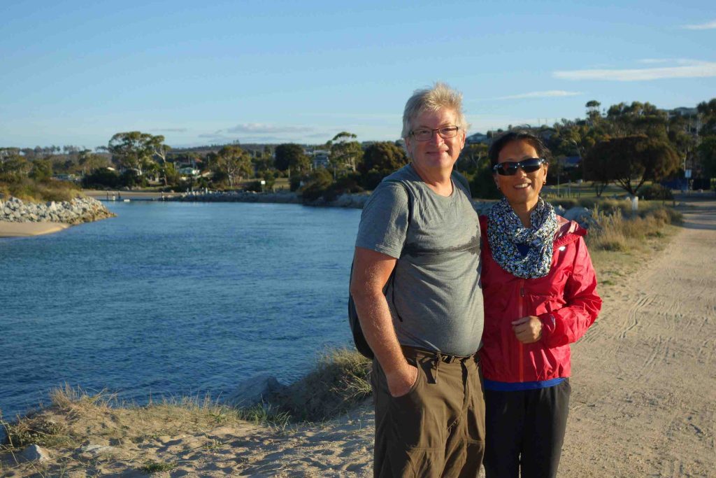
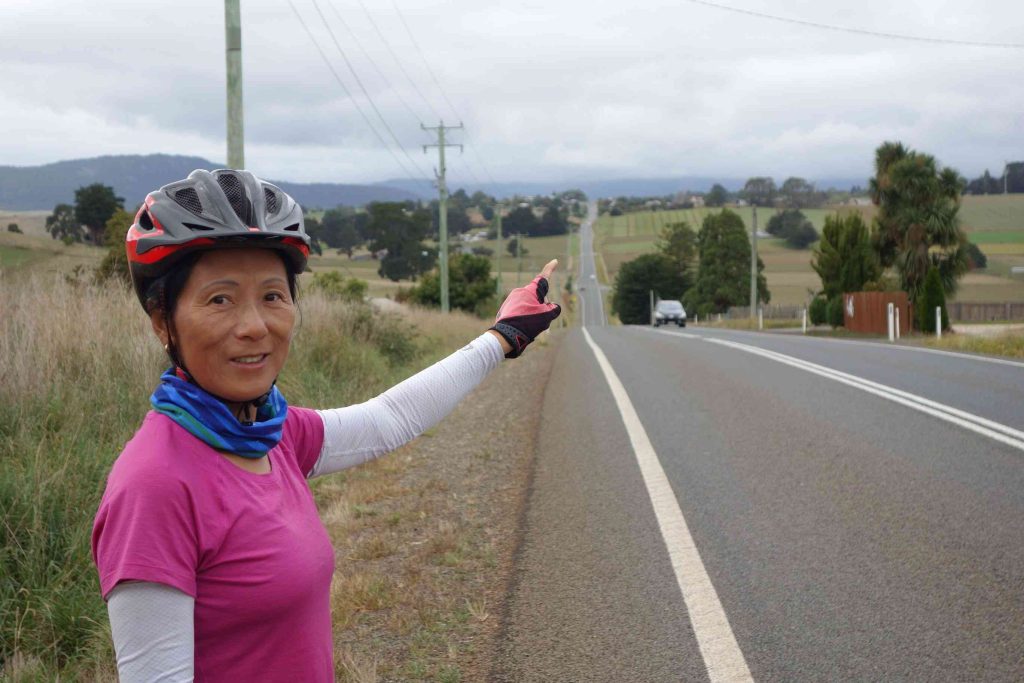
2018.03.12 – [AU] Narawntapu National Park ==> George Town (67 kms | Total: 4499 kms) – After breaking camp, we had some oranges and yogurt as an initial breakfast. As yesterday we had reviewed our route alternatives to George Town, we opted for the most direct route via an 18 kms dirt road. The other paved road alternatives would have added 20-30 extra kms. All routes involved a bump in the road of 300m or so. Once we started cycling on the dirt road, we were pleased as it was much better than either of us had expected. We met only five vehicles along the way. Once at the top of our major climb, we resigned ourselves, for safety reason, to walk down the downhill as it proved to be too rough for us to cycle down. Once we reached the sealed/paved road, we continued to cycle to the town of Beaconsfield where we stopped at a nice café for a late breakfast. We were delighted to see that the grocery stores and the cafés were opened on this Monday as it was Australia’s Labor Day weekend. After a good rest at the café, we continued our route leading us to the Batman bridge across the Tamar river. Most of our day’s journey involved getting across the river – if only we were birds! After 65+ kms, we arrived in George Town. We checked into a nice (and well deserved) motel in front of the pier. We had our evening meal at the motel’s restaurant as many of the restaurants were closed on Monday.
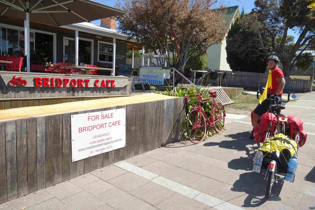
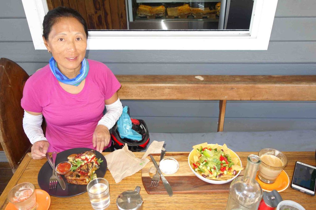
2018.03.13 – [AU] George Town ==> Bridport (59 kms | Total: 4558 kms) – We left our motel shortly after 8am and stopped at a café in town for breakfast. We backtracked yesterday’s route over 5kms to catch the highway towards Bridport. After the turnoff, we found ourselves on a highway heavily trafficked with large trucks and without any shoulders. Thankfully, the truck drivers continued to pass us with great care by slowing down and/or moving into the oncoming lane. The road condition improved after 15 kms. We arrived in Bridport in the early afternoon. We stopped at a café for lunch before checking into our backpacker accommodation. We were quite pleased with our accommodation as we were the only guest until late in the evening. We washed our clothes using the accommodation’s paid laundry facility. We had a light evening meal of take-way food bought at the grocery store. We enjoyed a stroll along the waterfront.
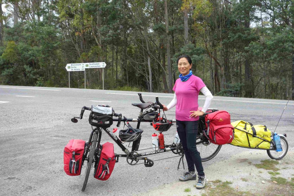
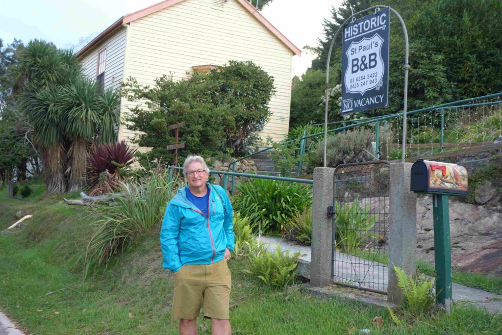
2018.03.14 – [AU] Bridport ==> Derby (55 kms | Total: 4613 kms) – We left our accommodation after having some yogurt. We cycled under comfortable weather condition towards Scottsdale where we planned to stop for breakfast some 20 kms further. We tackled our first good climb leading into Scottsdale. We stopped at a café named “Crank It 2” in town. We continued our route and tackled our second climb before the town of Branxhold where we stopped for a late lunch. After climbing out of town, we continued on a relatively flat road to Derby. We checked into a nice B&B for the night. Derby appeared to be very popular destination for mountain bicycle enthusiasts. To our surprise, we had our evening meal at the original café “Crank It”.
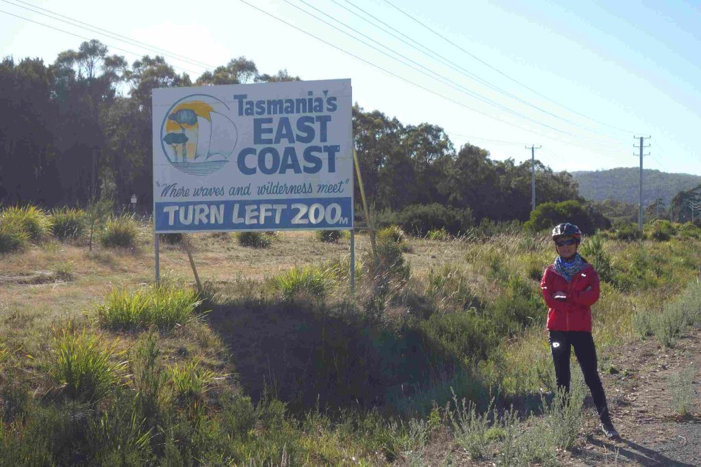
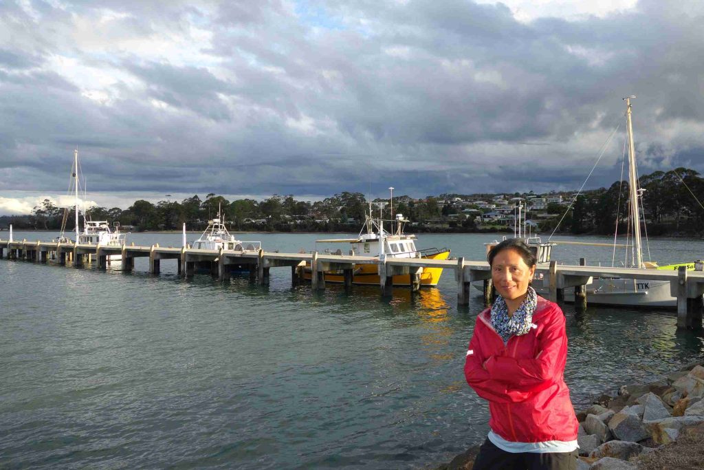
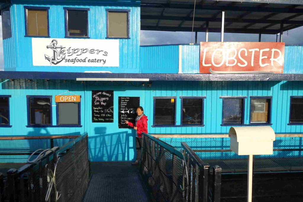
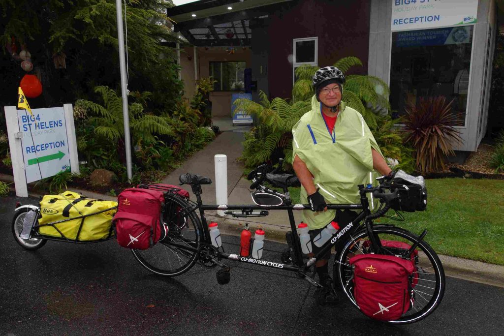
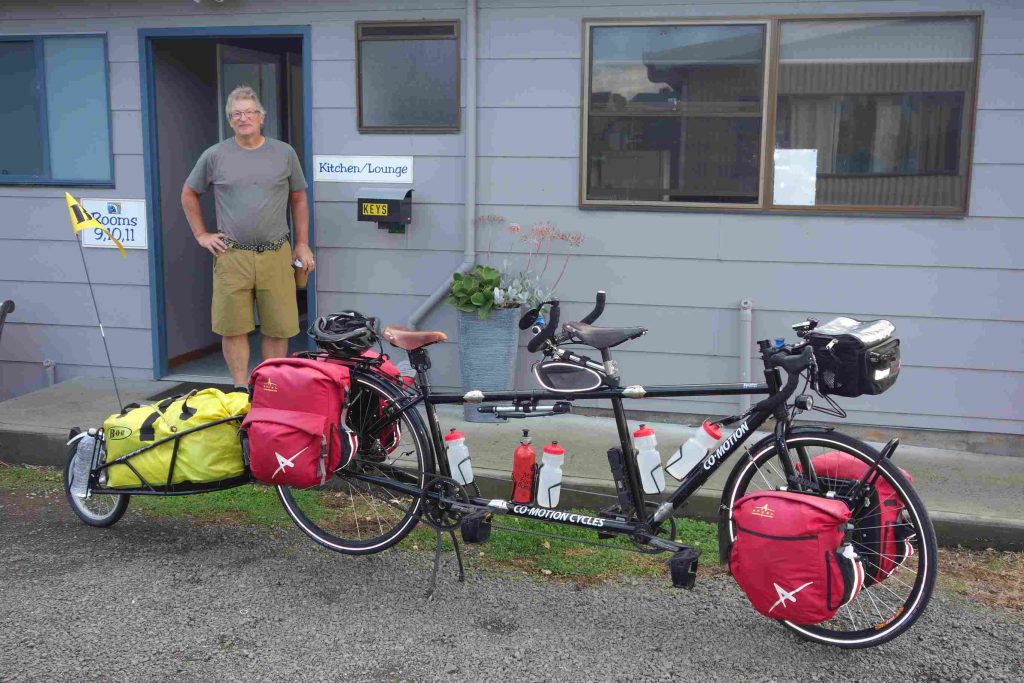
2018.03.15 – [AU] Derby ==> St Helens (69 kms | Total: 4682 kms) – St Helens (AU) – We prepared our own breakfast from a supply basket provided by the B&B owner the previous evening. We left Derby knowing that we had a challenging day ahead of us. We started with a steep climb out of town. Some 15 kms further, it started to rain as we embarked on a long climb over Weld Hill. Our climbing resumed shortly after Weldborough bringing us close to 600m. As the rain had stopped, our clothes dried up during the long descent into the small locality of Pyengana where we stopped for lunch at a roadhouse. Our final last 25 kms were much easier. We were happy to finally see the Tasmania’s east coast as we cycled into the town of St-Helens. We checked into a Big4 holiday park as we had not managed to secure any other affordable accommodation in town. After a good shower and a bit of rest, we walked to the town center for some fresh seafood at a eatery located on the pier. Jenny ate her first few oysters, au natural, which she really enjoyed. Back at the holiday park, we spent a couple of hours at the kitchen/lounge facility planning our later Tasmanian cycling segment. As we entered the comfort of our tent, it started to rain lightly.
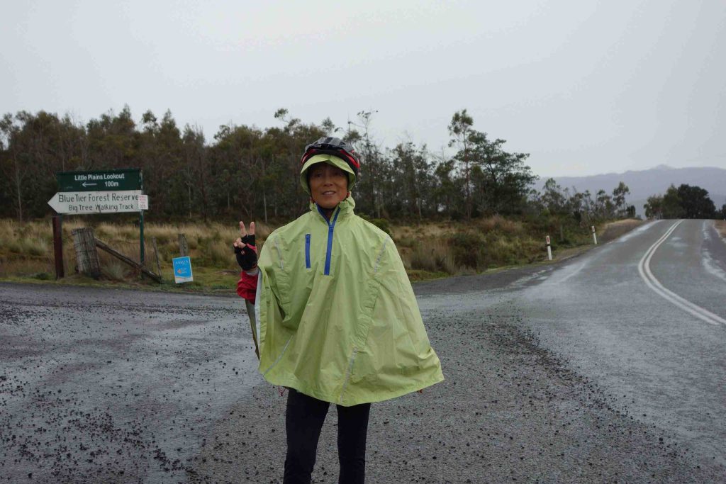
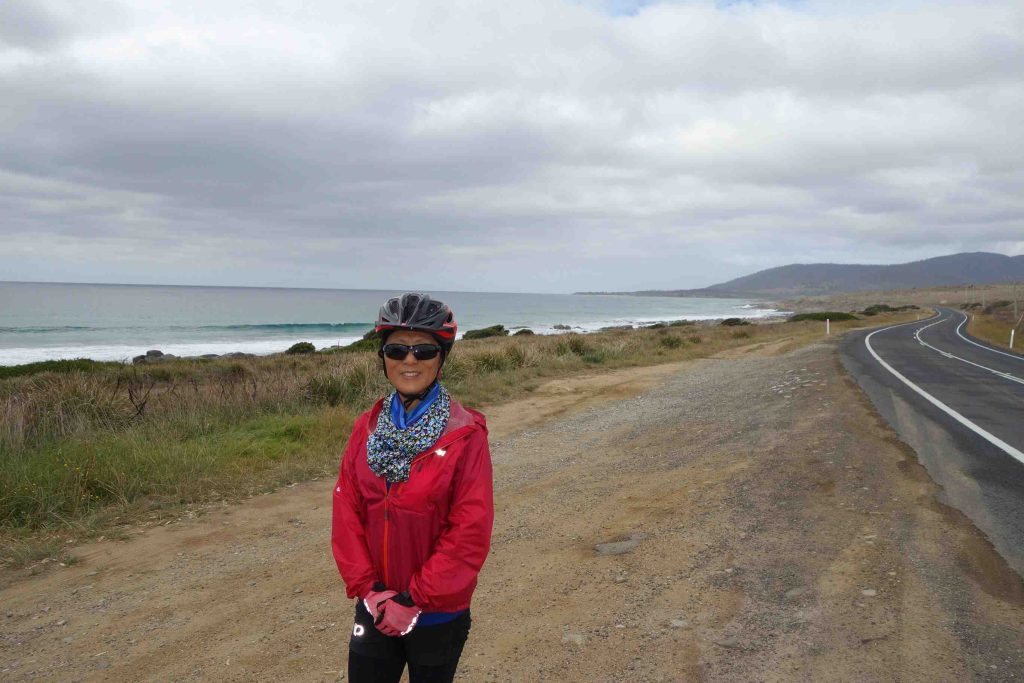
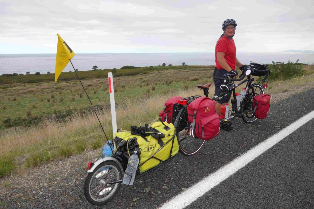
2018.03.16 – [AU] St Helens ==> Bicheno (78 kms | Total: 4760 kms) – It rained most of the night. Except for the tent, we managed to break camp without getting things too wet. We left our campground with our full rain gear on (waterproof socks, boot cover and poncho). We had a long cycling day ahead of us – some 75+kms. Although the vehicle traffic was not as heavy as we expected we nonetheless needed to keep monitoring closely the road for the vehicles as it continued to rain lightly and there was no road shoulder for the first 10-15 kms. Near our 20th km, we stopped in Scamander for breakfast. The rain had stopped by the time we mounted the tandem again. The coastal road provided some very nice views of the Tasmanian sea. We arrived in Bicheno under some dark clouds. Shortly after checking into our backpacker accommodation, it started to rain again. We opted to buy some food supplies and cook our evening meal at the backpacker’s well equipped kitchen. It was a good decision to stay inside.
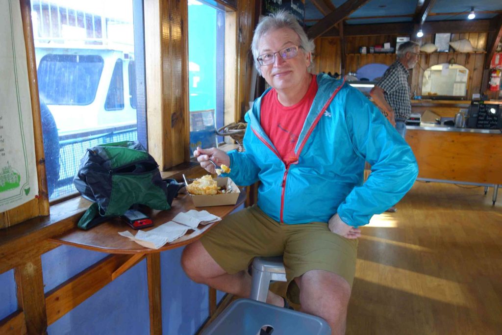
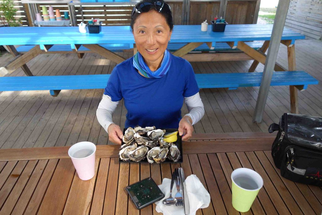
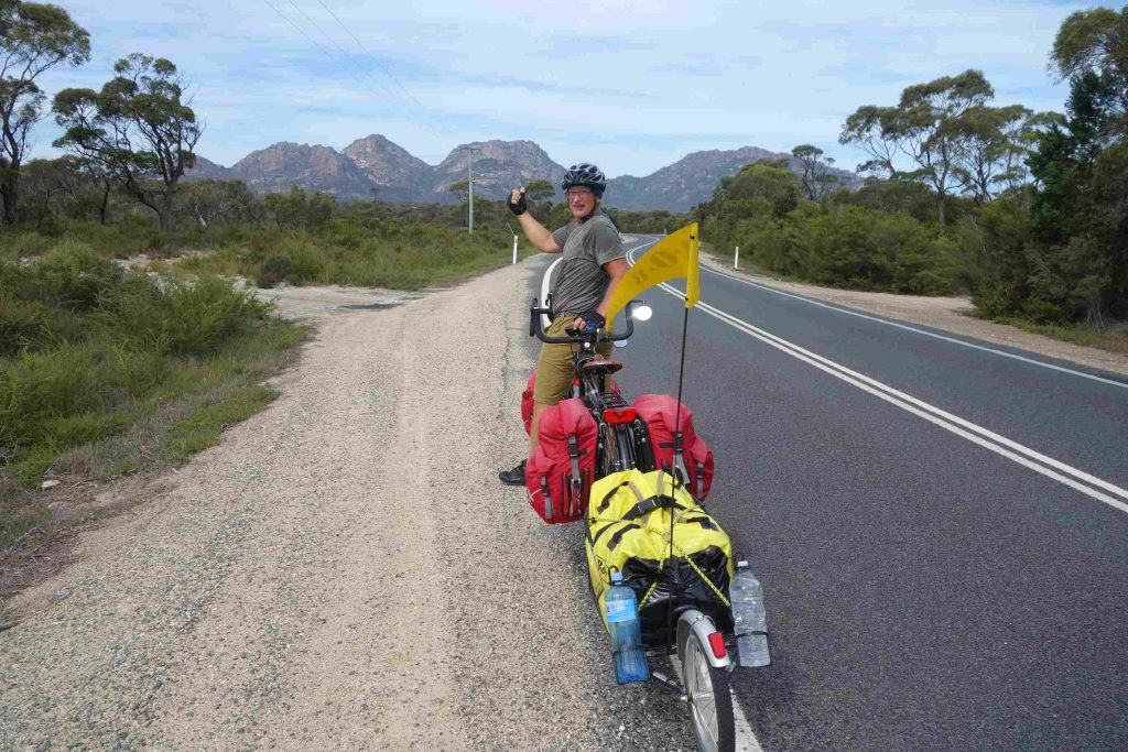
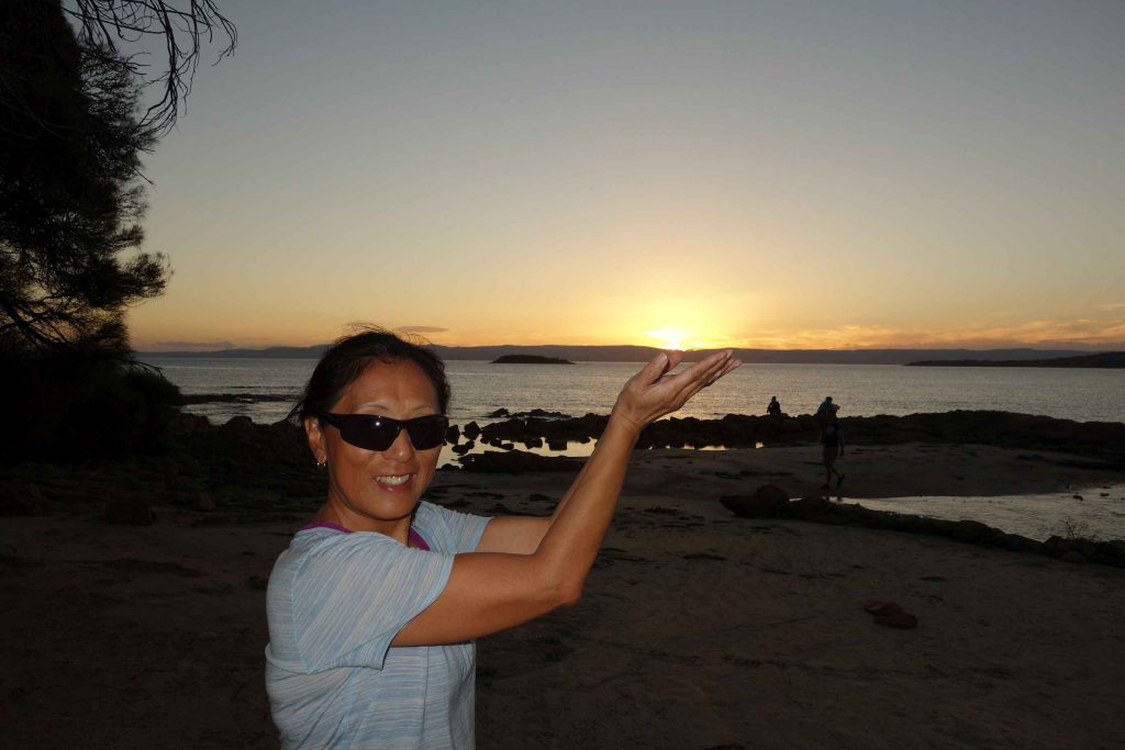
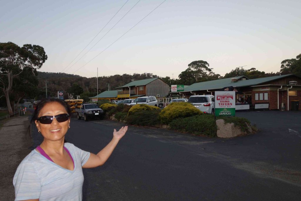
2018.03.17 – [AU] Bicheno ==> Coles Bay (39 kms | Total: 4799 kms) – We cooked breakfast at our backpacker accommodation and bought lattes at a nearby bakery. The rain had stopped and the sky was clearing when we left town. There was a detour leaving out of town due to a recent car accident but we were allowed to cycle through. The cycling was enjoyable especially knowing that we only had to cover less than 40km. After 12 kms or so on the main highway, we took a turn off for the road to Coles Bay. We met a solo cyclist along the way who highly recommended the camping experience at the Freycinet National Park. Some 8kms before arriving at Coles Bay, we stopped at the Freycinet Marine Farm for an early lunch snack. Jenny enjoyed a dozen oysters, au natural, while I had some scallops. As we were enjoying our seafood, we noticed the place was suddenly overflowing with tourists stopping for lunch. Before leaving the Farm, we met and chatted with a cyclist couple who flew to Tasmania from Sydney. After checking into our backpacker accommodation, we dried the tent and initiated two loads of clothes wash. We had some lattes and snacks at the local bakery while waiting for our clothes wash to finish. We had our evening meal at the nearby tavern. Later, we managed to capture a few pictures of a beautiful sunset.
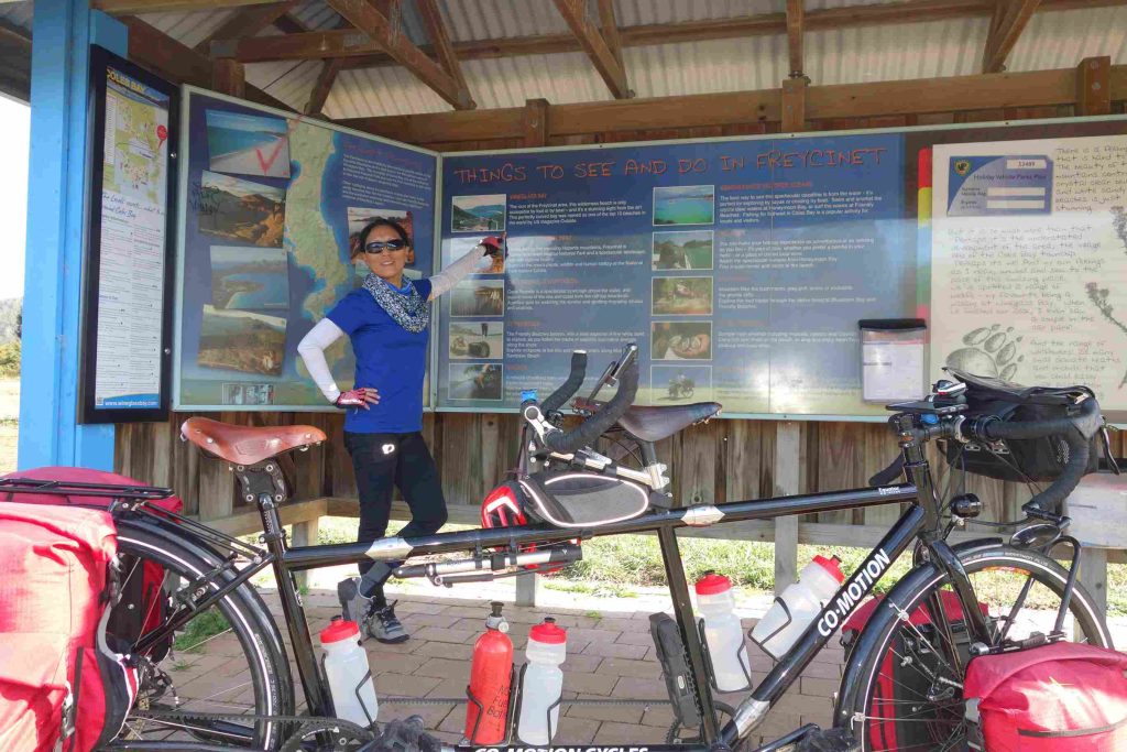
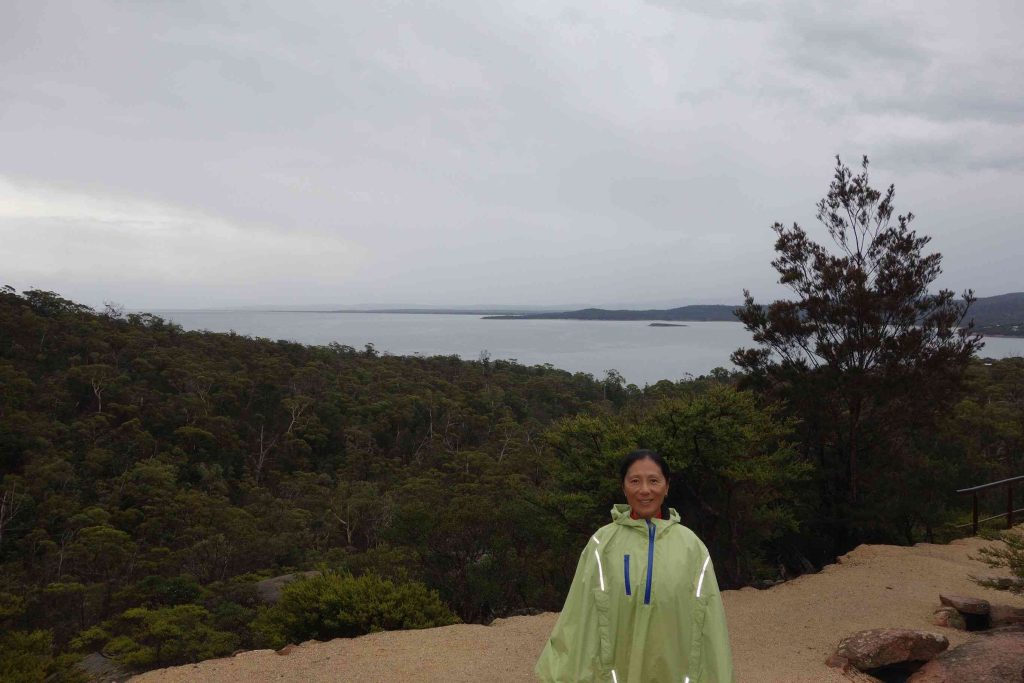
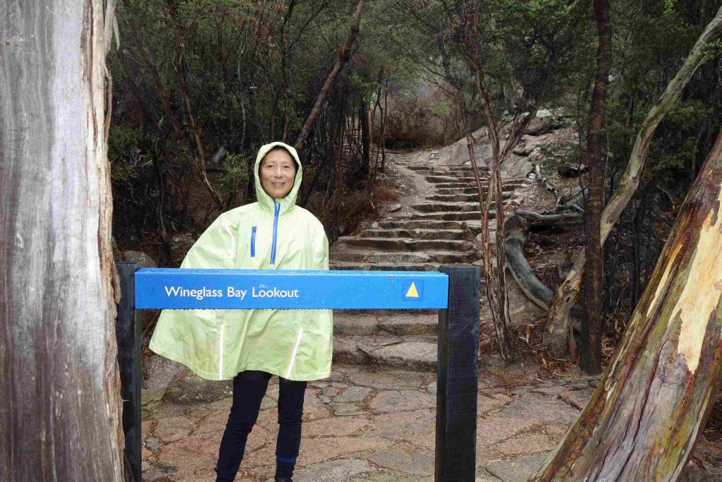
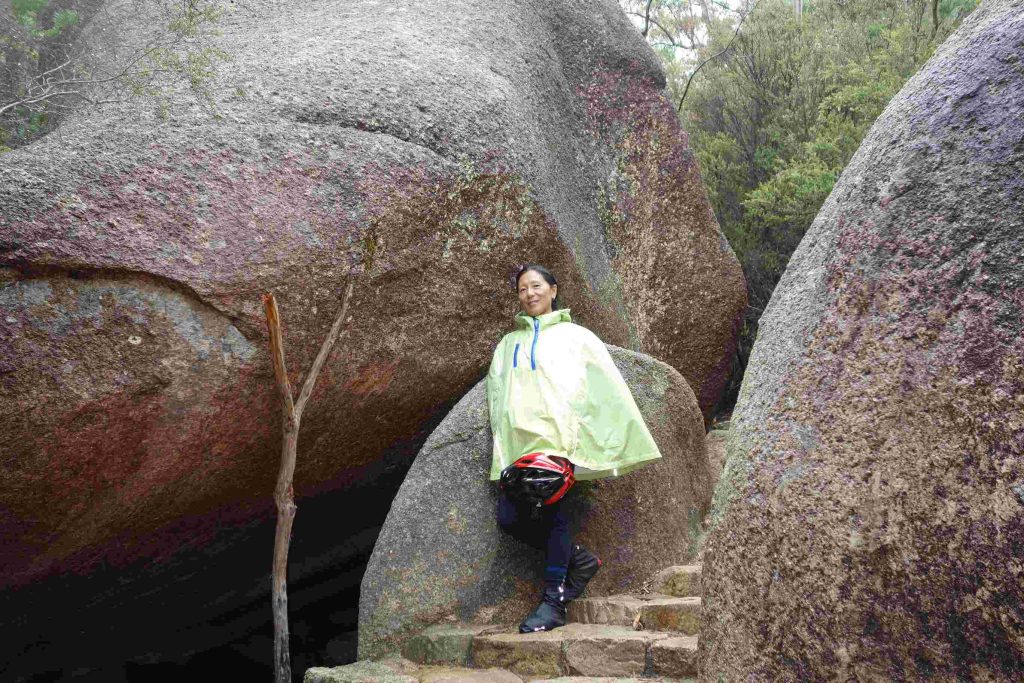
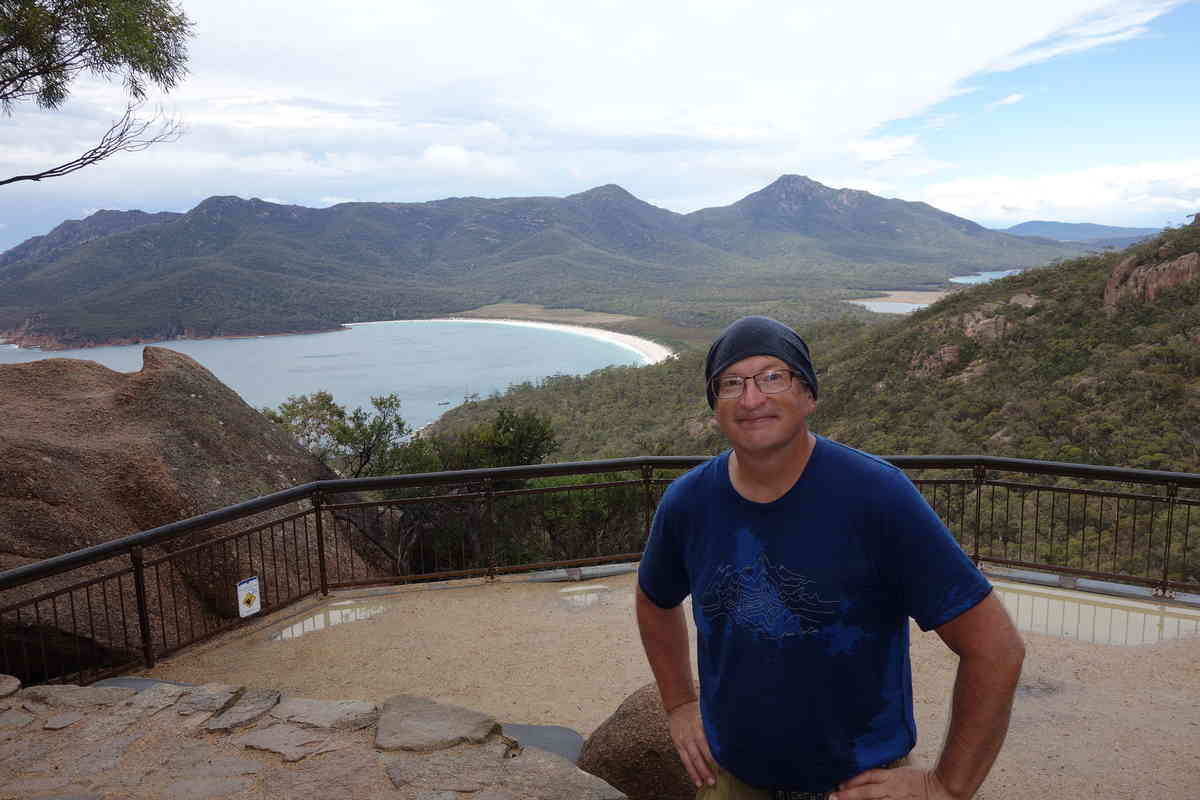
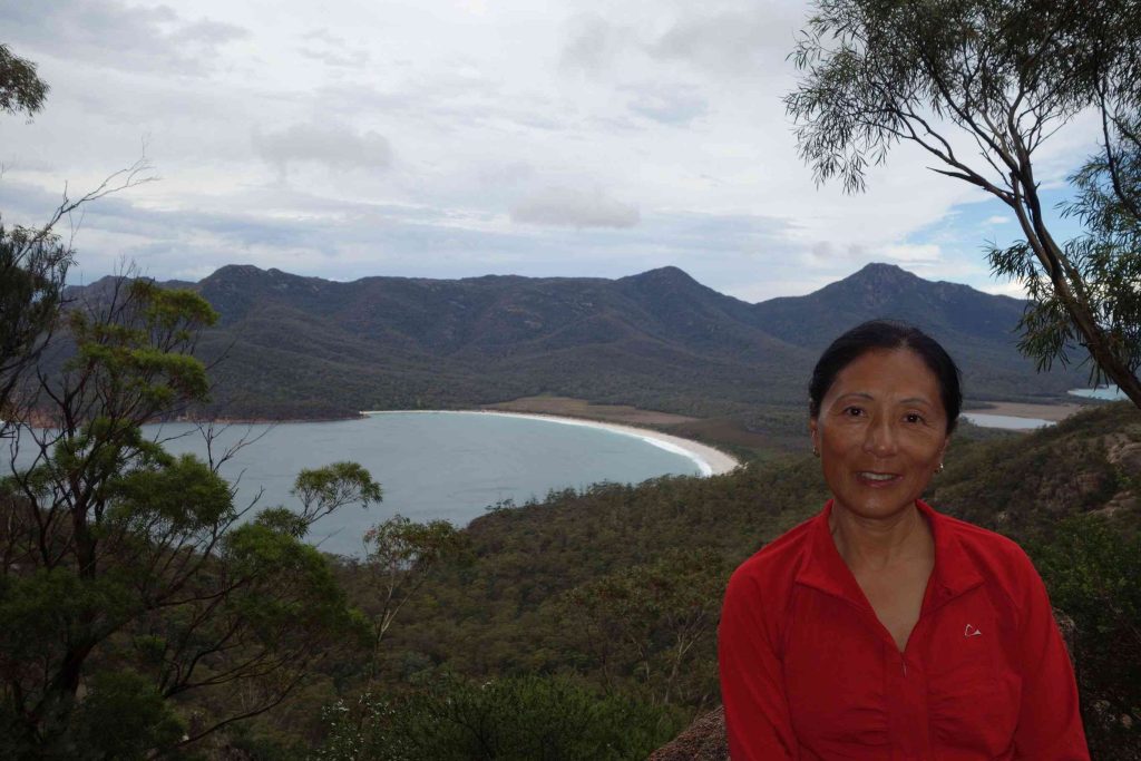
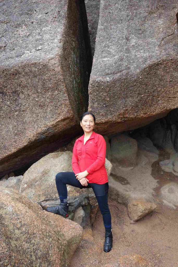
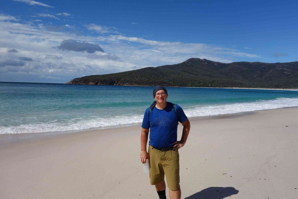
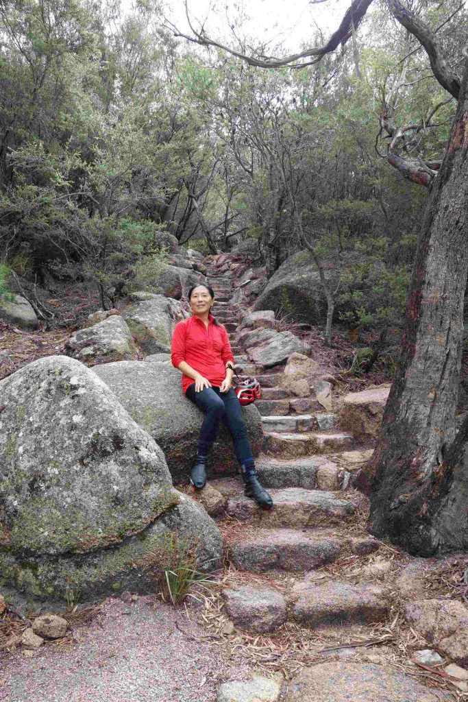
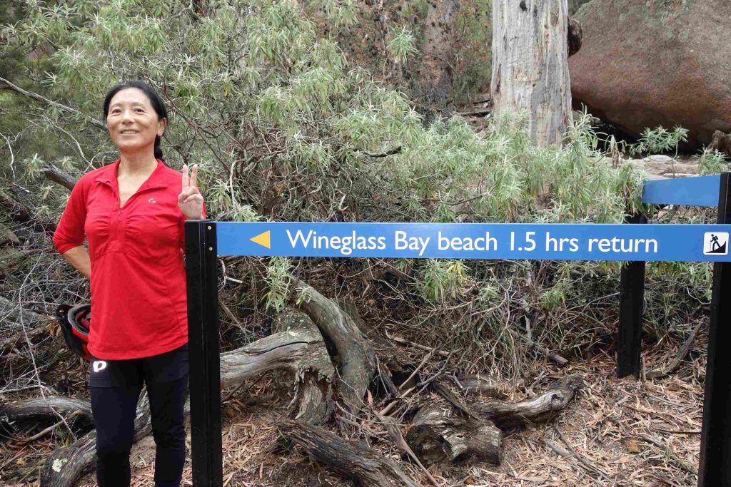
2018.03.18 – [AU] Coles Bay ==> Coles Bay (12 kms | Total: 4811 kms) – As forecast, we awoke to some rain. During our day of rest in Coles Bay, we had hoped to go for a hike at the nearby Freycinet National Park. After reviewing the hourly weather forecast, we decided to risk a visit to the Park. We left our backpacker accommodation with our rain gear and the tandem and we stopped at the bakery for our breakfast. We cycled 2 kms to the Park’s visitor center where we bought our daily park access passes. We cycled a 4 kms further to the car park where several trail heads began. We enjoyed the hike up to the Wineglass Bay lookout – especially as the rain stopped. From the lookout, we opted to take the 1.5 h return trail to the Wineglass beach for some photo opportunities and some bragging rights. By dropping by the beach we could enjoy saying that we had visited one of the top 10 beaches in the world according to the US magazine Outside. After our three hour hike, we cycled back to Coles Bay’s town center for a light lunch. We returned to the same restaurant for our evening meal.
