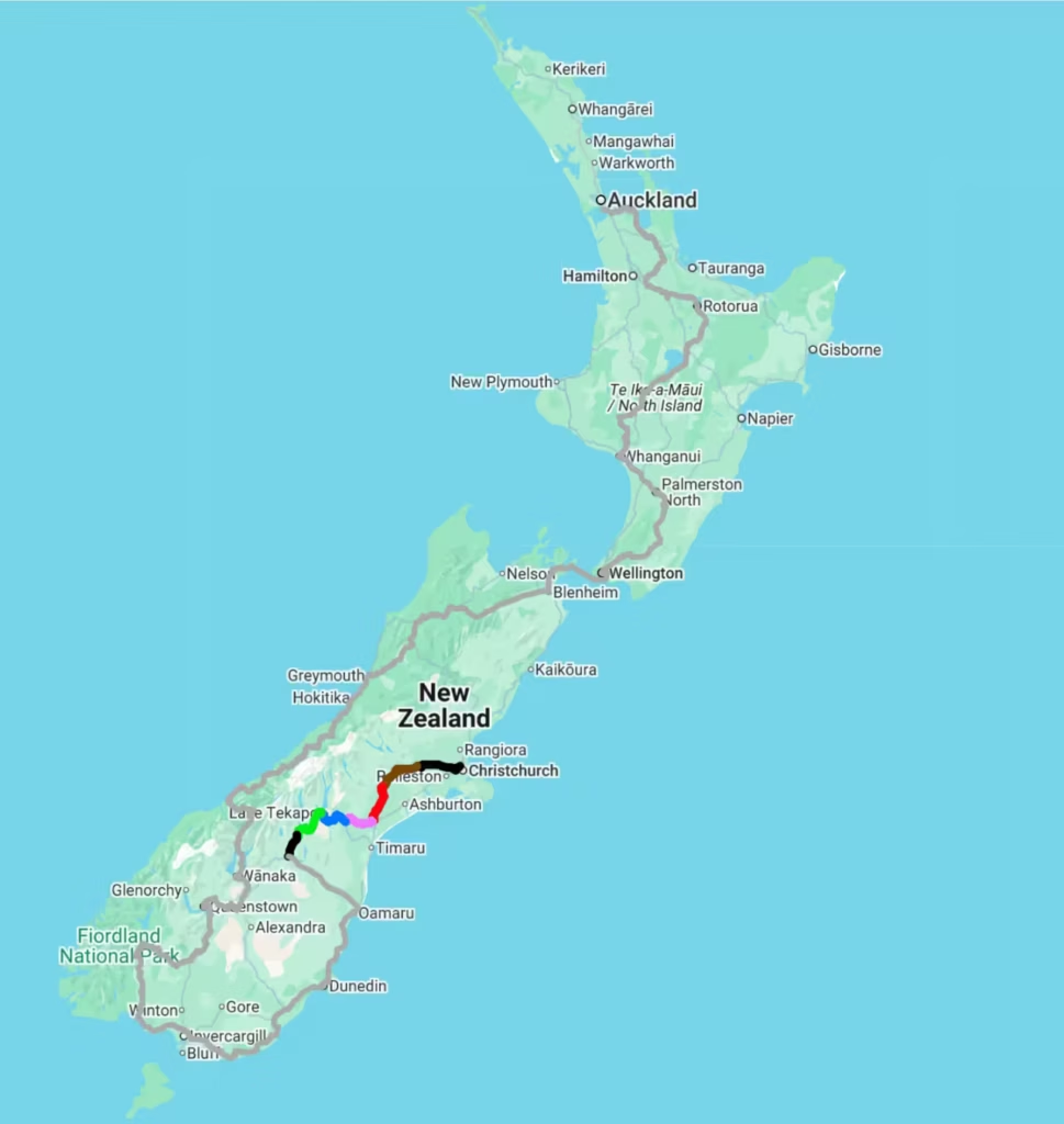
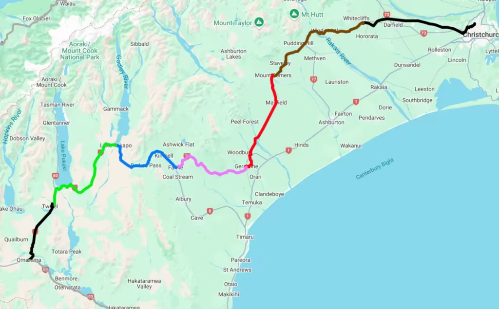
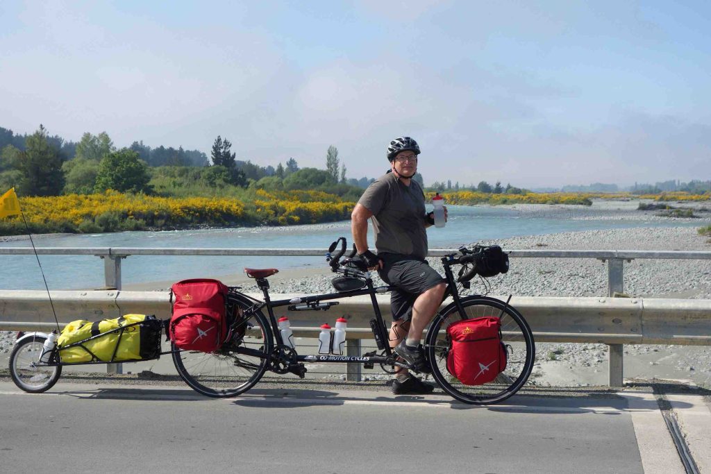
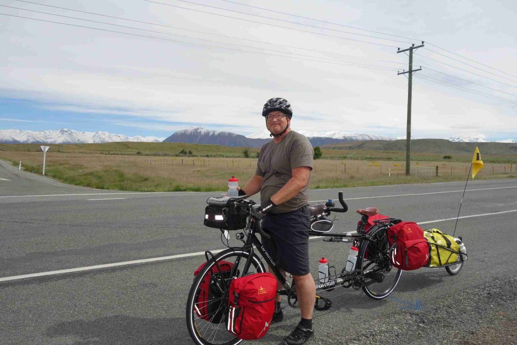
An overview of the road covered during our first week of cycling.
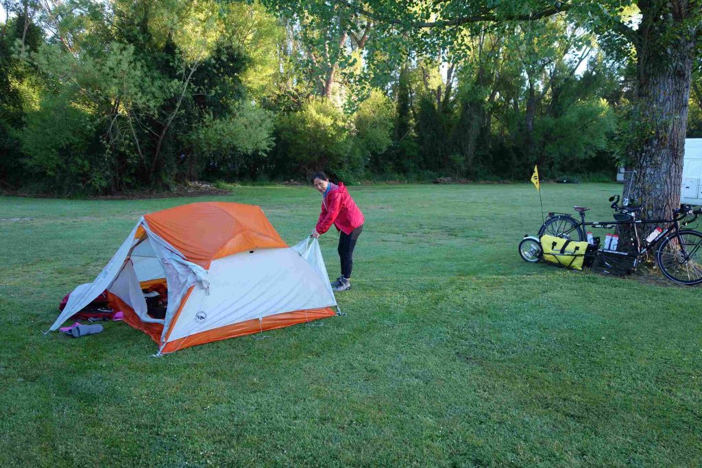
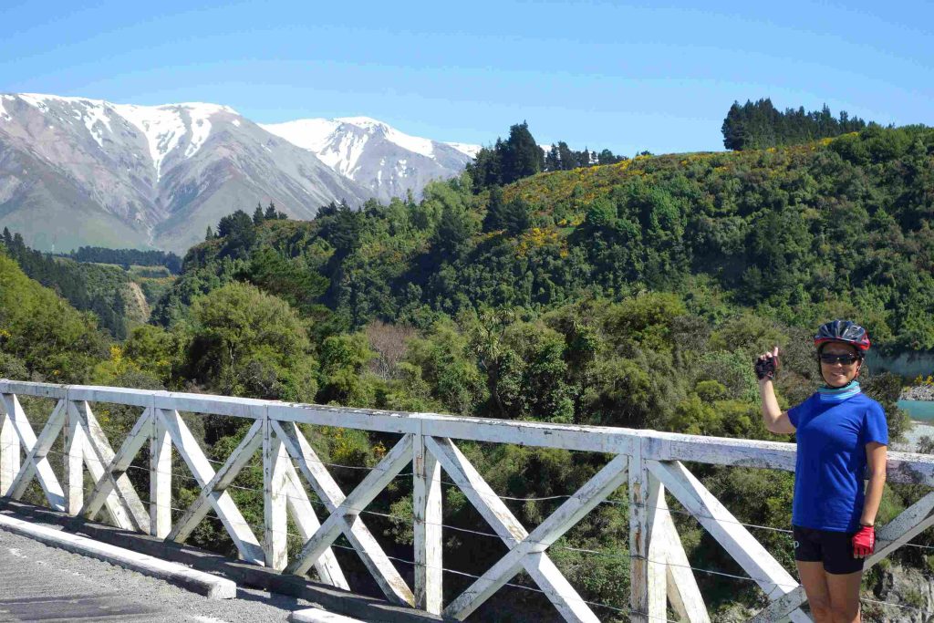
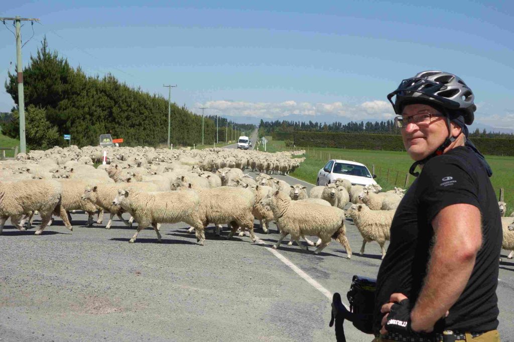
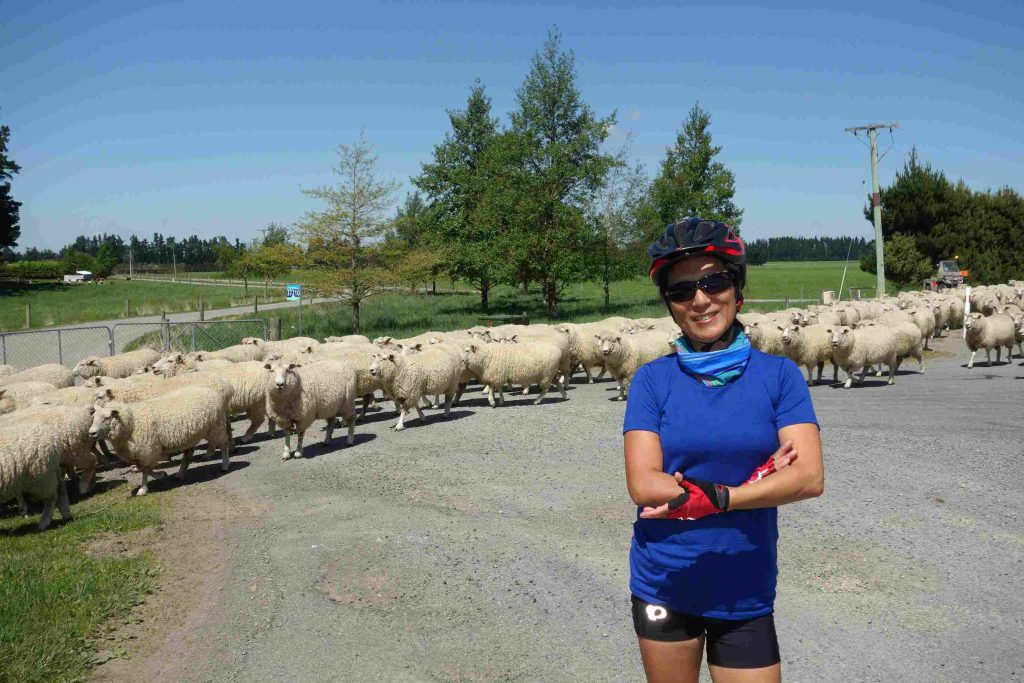
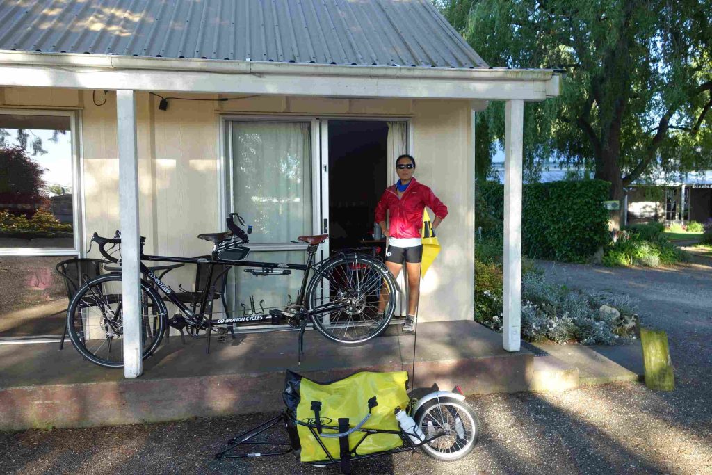
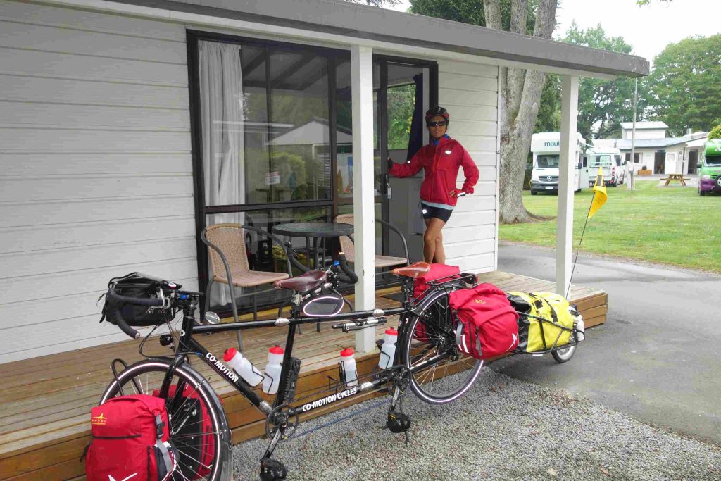
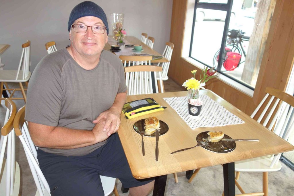
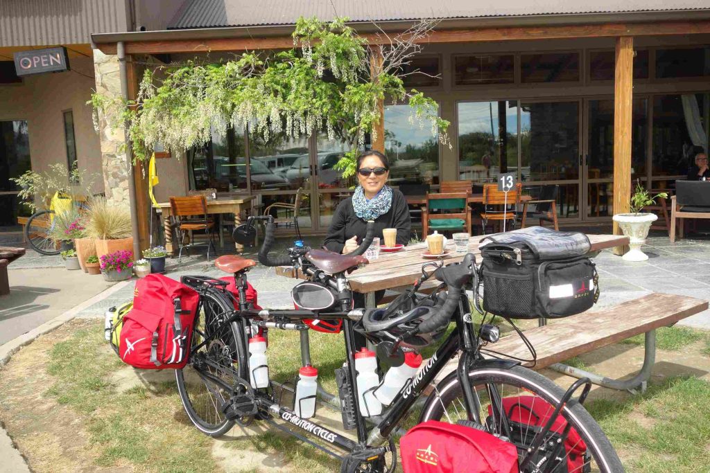
2017.10.31 – [NZ] Glentunnel ==> Mt Somers (62 kms | Total: 190 kms) – Our first night camping showed us our tent covered with a heavy morning dew. We tried our best to dry the tent before leaving our first holiday park, as camping grounds are referred to in NZ. We ate some yogurt and sandwiches for our breakfast. We set out riding under a nice sunny sky. The road was enjoyable. The traffic was fairly light and the drivers were courteous. Our main challenge for the day was a dip on the road, named the Rakaia Gorge. Needless to say that we walked up part of the steep hill bank. We encountered our first sheep roadblock along the way. And we really appreciated encountering a pleasant roadside café a few kms before our second day destination. This was one of the references our AirBnB host in Christchurch had provided us for our journey going south. At Mt Somers Holiday Park, we opted to rent a cabin in order to avoid dealing with a damp tent in the morning. We had our evening meal at the only place in town, the local tavern. The very small town of Mt Somers felt like a metropolis compared to our first day stop in Glentunnel.
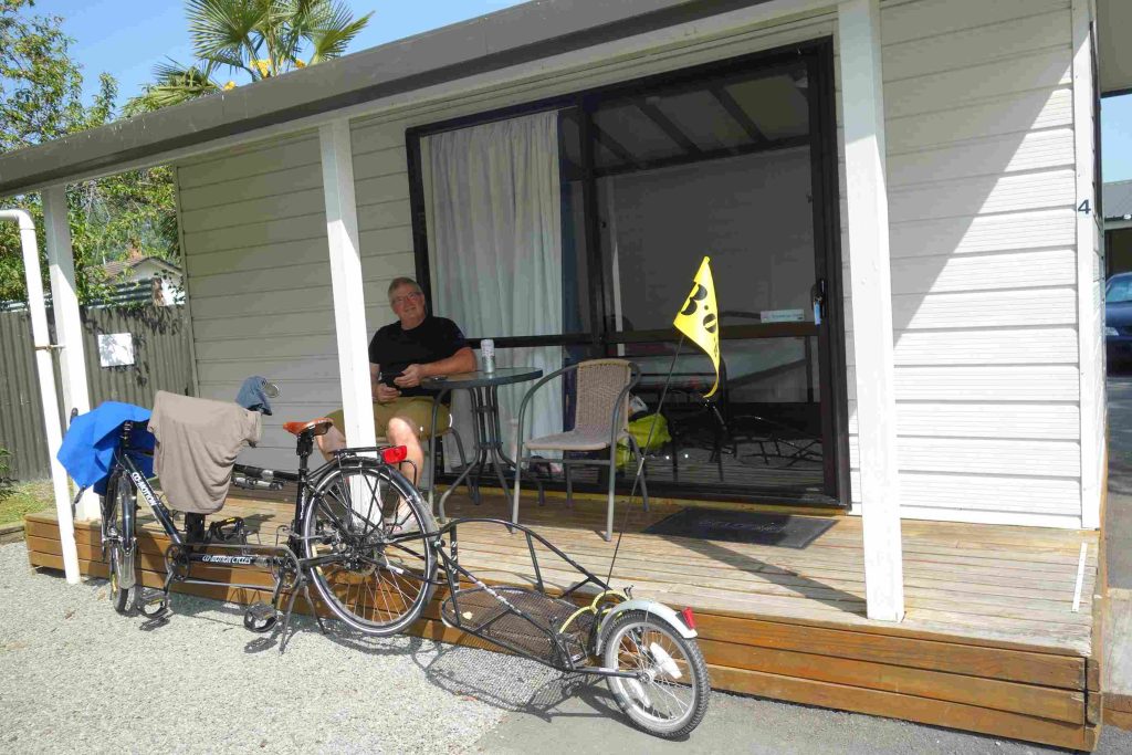
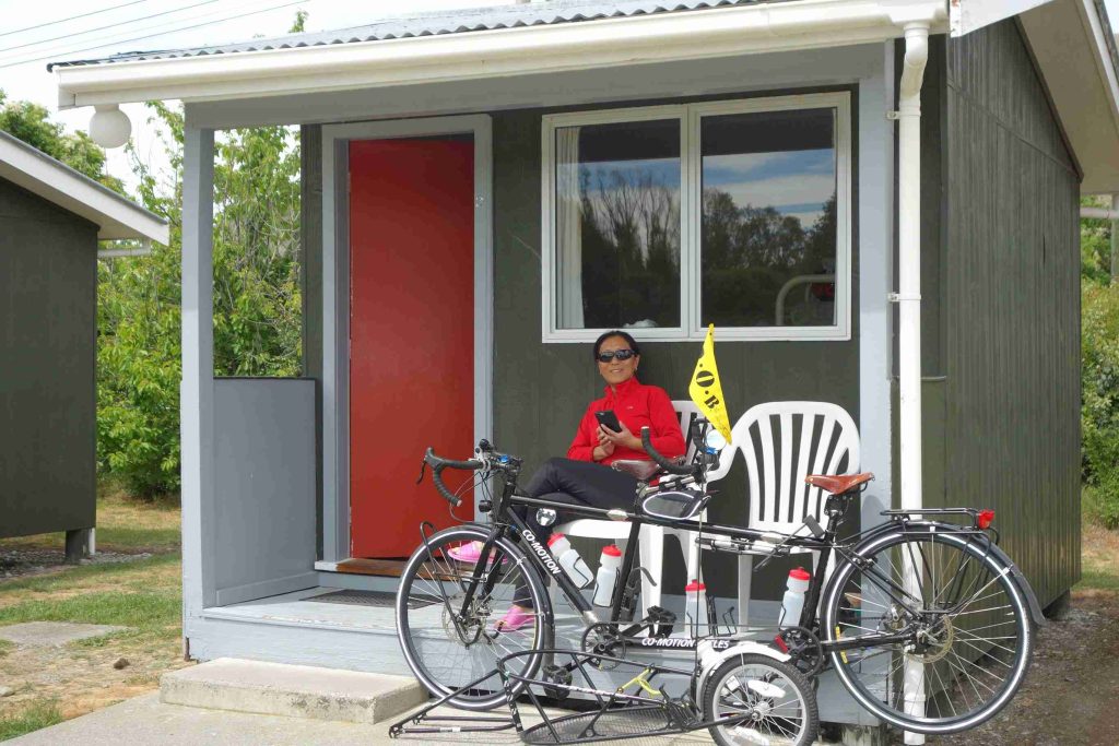
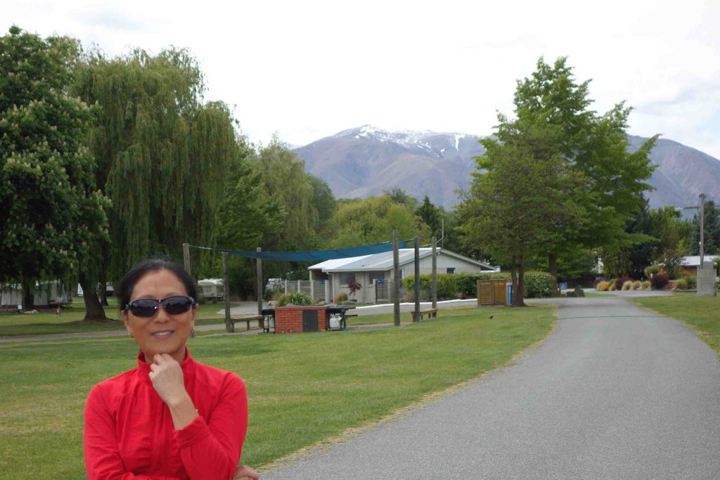
2017.11.01 – [NZ] Mt Somers ==> Geraldine (53 kms | Total: 243 kms) – Jenny and I both appreciated our stay in a cabin and agreed that we should privilege this type of accommodation along our way. The cabins are less trouble than setting up a tent and more affordable than a motel room. We started riding around 8:30 and by 11:30, we had already reached our third destination thanks to a downward inclined accumulated from the previous day. We had heard that Geraldine was a nice small boutique town. It did not disappoint us. Our holiday park and cabin were even better. After experiencing holiday parks for the past three days, we are amazed at the campground facilities. Beyond the normal showers and toilets, these parks offer well equipped kitchen, lounge room and laundry facility. Wifi has been consistently available either free or at nominal fee (e.g. NZ$2 for 250mb).
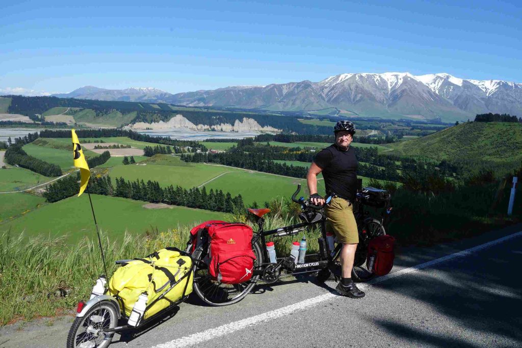
2017.11.02 – [NZ] Geraldine ==> Fairlie (47 kms | Total: 290 kms) – By leaving on Thursday morning, we were missing the festivities of the Geraldine’s Country Fete. Our planned route headed west again and led to a continuous gentle climb with a handful of steeper hills along the way. Road traffic was a bit heavier today but we still enjoyed our ride under sunny condition. We encountered our first flat tire of the trip. At the top of our last hill of the day was a pleasant café which we took advantage of. We secured another cabin at the Fairlie Holiday Park. For our evening meal, we bought some Chinese take-out and ate back at our kitchen facility.
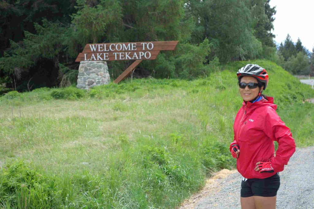
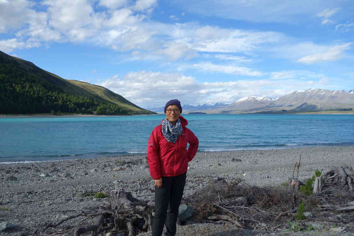
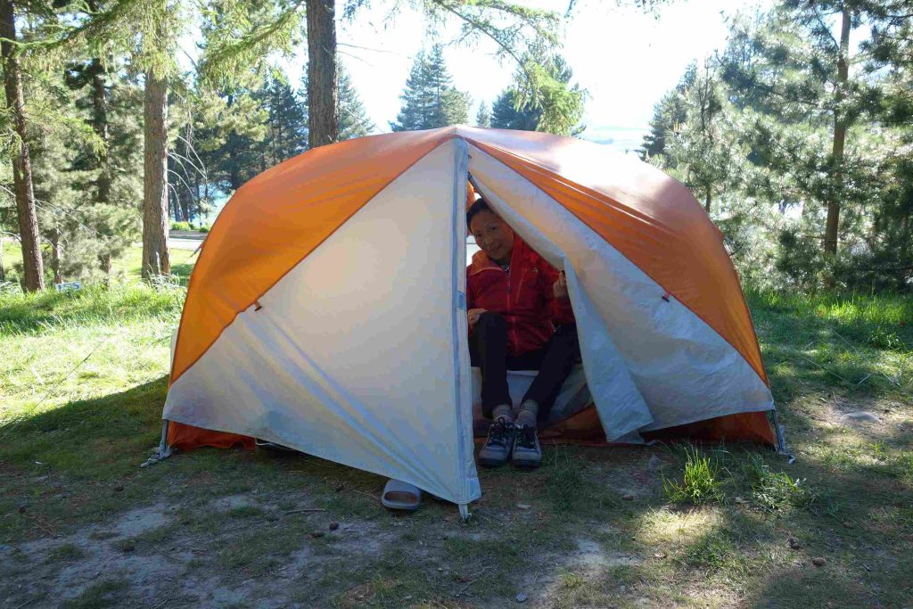
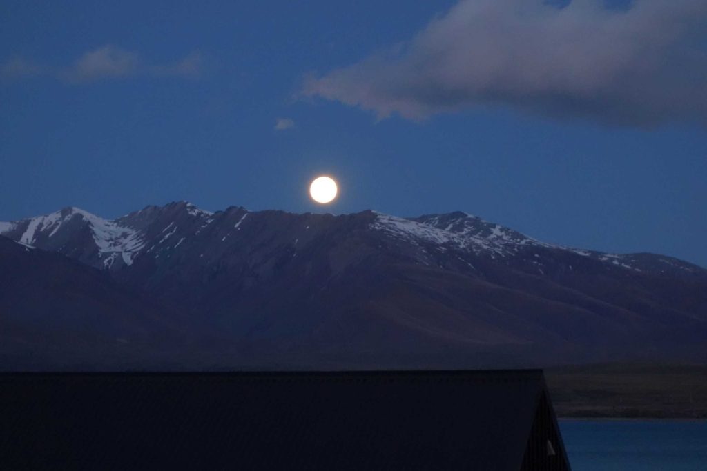
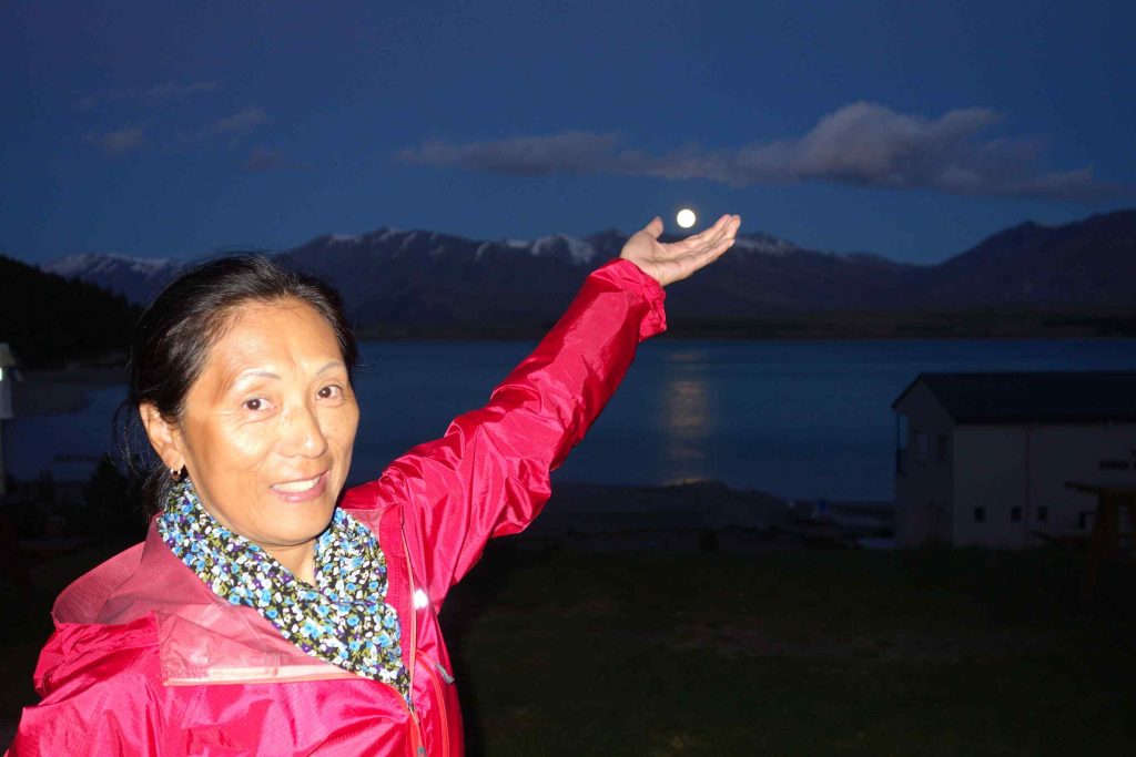
2017.11.03 – [NZ] Fairlie ==> Lake Tekapo (46 kms | Total: 336 kms) – Our Google road profile had warned us that we would be climbing most of the day towards Lake Tekapo, a small Banff/Lake Louise town. As we were scheduled to take a day or two of rest in Lake Tekapo, we had attempted the previous evening to reserve, through various booking websites, such as the usual Booking.com and AirBnB, an accommodation but everything appeared sold out. After reaching a plateau over a road pass, we started to battle strong side winds that required all our concentration and energy to ride forward and deal with the busier road traffic. We struggled in these conditions for the last 15 kms. Upon our arrival in Lake Tekapo, we checked into the local holiday park and, after confirming the unavailability for cabins (for the past few weeks now), we resigned ourselves to pitch our tent under some windy condition. Later we walked into the town center consisting of a single strip mall. We bought some groceries and had supper at a Thai restaurant. For those that like star gazing, you should know that Lake Tekapo is an International Dark Sky Reserve. One of a dozen such places in the world – although Mont-Mégantic (Québec) is also one such certified area. We did admire a full moon and beautiful stars during our night visit to the washroom.
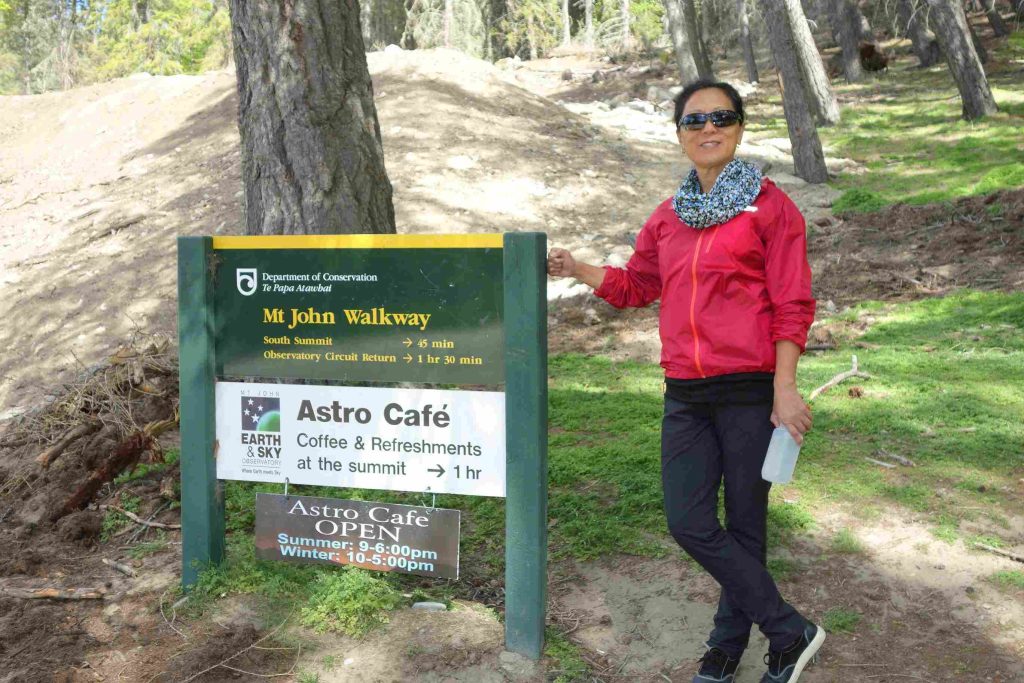
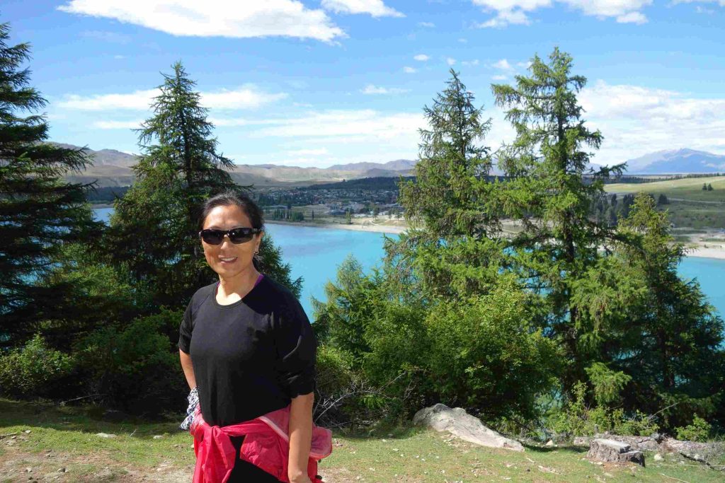
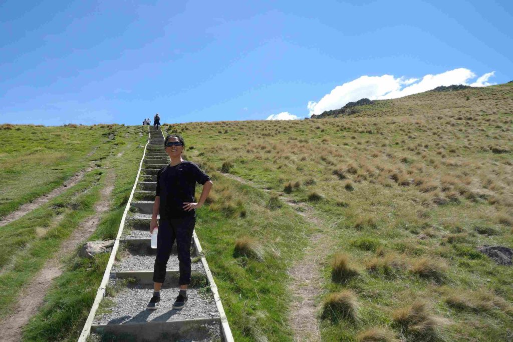
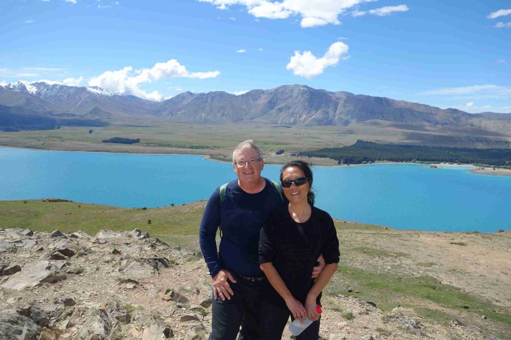
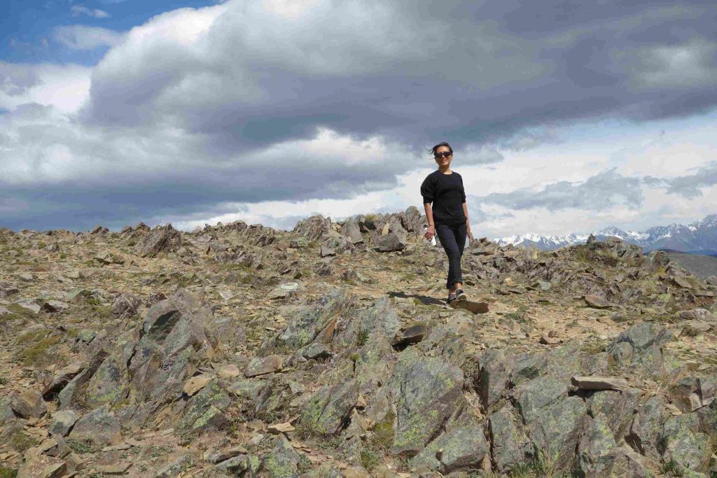
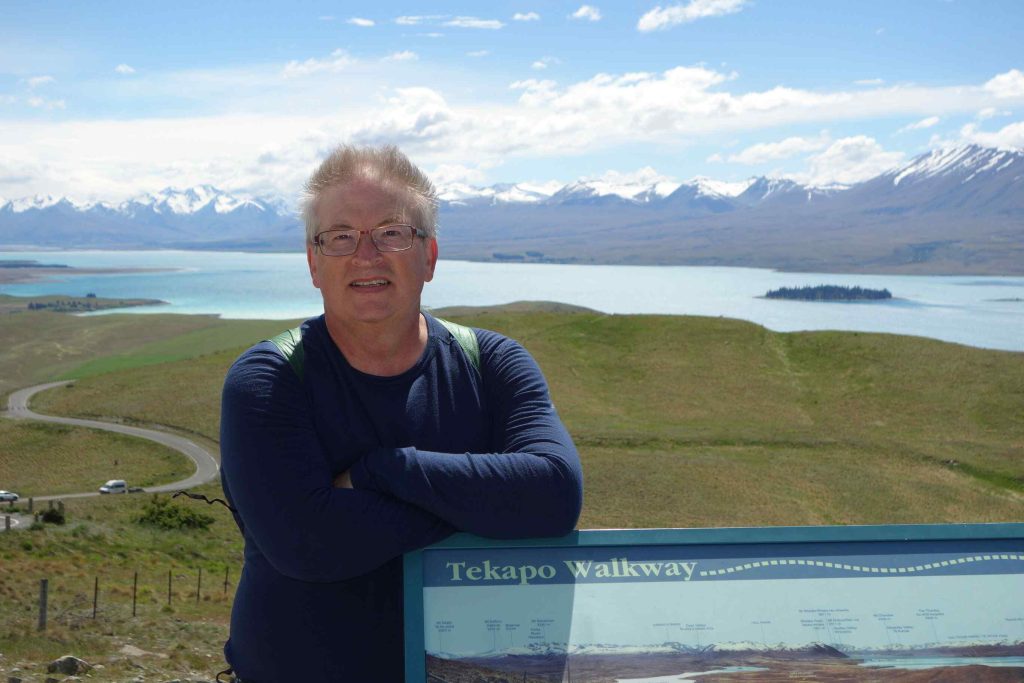
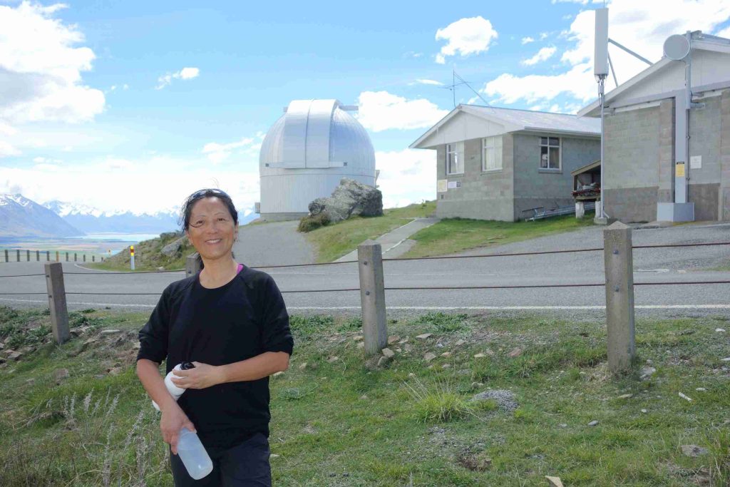
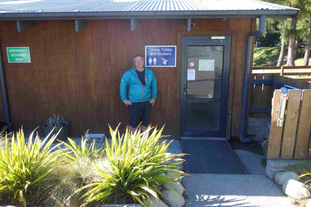
2017.11.04 – [NZ] Lake Tekapo ==> Lake Tekapo (0 kms | Total: 336 kms) – Next morning, we bought lattes from a mobile coffee van and had scrambled eggs for breakfast. We hiked up a top of Mount John where an Observatory station, operated by the University of Canterbury, was located. The 2-hour walk is described as moderate with reasonably steep ascent in places. Due to some renovations of the main facility building at the holiday park, the management converted the washroom/showers facilities to unisex operations. It seemed that everyone, even for those different with religious backgrounds, managed well under these conditions. In the afternoon, we relaxed at the park’s small lounge facility. During this time, as we heard the howling winds outside, we kept on hoping that our tent was still ok. Later, when we showed up at our tent site, we noticed the tent had shifted about 5 feet. Our neighbor, another cyclist, greeted us to let us know that he desperately attempted secure our tent during the winds as it was about to be blown away. We re-located our tent to slightly better sheltered area. As we walked to town for supper under a mostly sunny sky, we were surprised when the weather quickly changed to rain. We enjoyed our pizza meal while hoping the rain would stop before we had to walk back to our tent. Thankfully, the sky cleared up again. We spent the rest of the evening in the lounge facility planning our next route segment. As part of our daily routine, we keep a close eye on the weather forecast while considering our next day route.
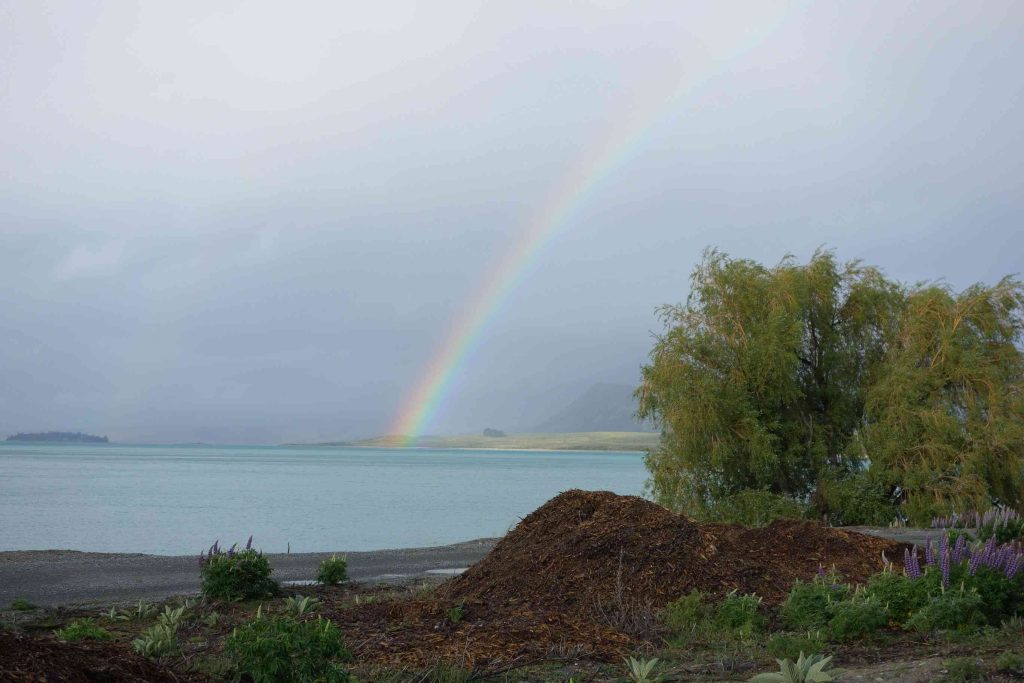
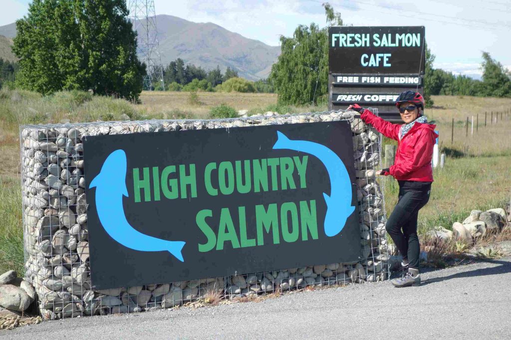
2017.11.05 – [NZ] Lake Tekapo ==> Twizel (61 kms | Total: 396 kms) – Inevitably while traveling in New Zealand, at some point, it will rain! And today seemed like it was to be our initiation to bad weather. As we woke up and realized the sky was still clear, we quickly broke camp. We noticed that the previous day’s wind had actually bent some of our tent poles! We managed to cycle out of Lake Tekapo under some windy but dry condition but an hour later, the rain started falling down. We both had put on our waterproof socks this morning. Jenny tried her rain poncho but I only kept my wind-stop jacket hoping that we would have a break in the rain and then I would dry out en route. Unfortunately, it continued to rain until we reached our destination in Twizle. Our only rest during our entire 60kms cycling day was at an information center on high altitude salmon farming. We had some hot chocolate there to help warm us up while we envied all the tourists dropping by with their RVs and tour buses. The last 10 kms to our holiday park were thankfully easy. We did our best to dry our clothes in our cabin. After the rain stopped around 6:00pm, we did some grocery shopping and had a good Thai meal.
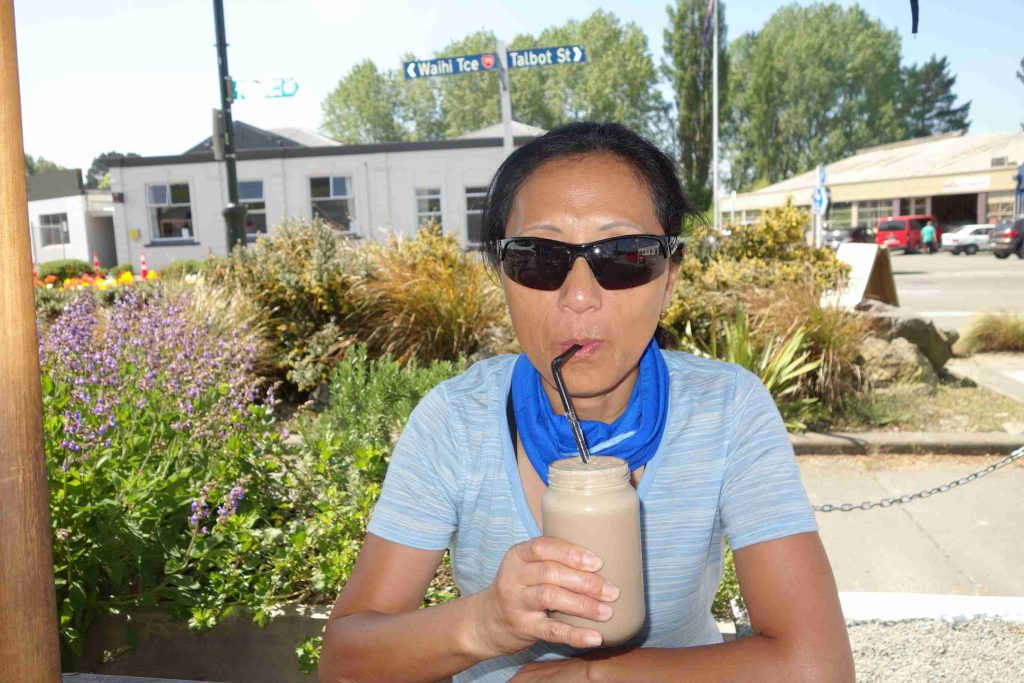
2017.11.06 – [NZ] Twizel ==> Omarama (32 kms | Total: 428 kms) – As our planned cycling day departing from Twizle was only 30kms, we had breakfast at our holiday park. It was really comforting knowing today’s weather would be clear. As we arrived before lunch time in Omarama, we had some lattes at a nice café to reward ourselves. After settling into our cabin, we did some clothes washing and dried up our tent from Lake Tekapo. We enjoyed relaxing the rest of day.
For those interested in our daily progress, we strive to update the map point on the main blog page under “Current” widget.
It does not matter how slowly you go as long as you do not stop.
–Confucius
